


When I think of my experiences in Fukushima, the first thing that pops into my head is Tadami Town. This is probably the same for most Taiwanese who have visited Fukushima — chasing the four-season scenery of the Tadami Line trains is the highlight of many people’s Fukushima trip.
But my memory stays on the mountains of Tadami Town, an afternoon spent strolling through what’s called the Healing Forest (Japanese: 癒しの森). It’s not far from the Tadami Line, yet has far fewer visitors, and far more stories.
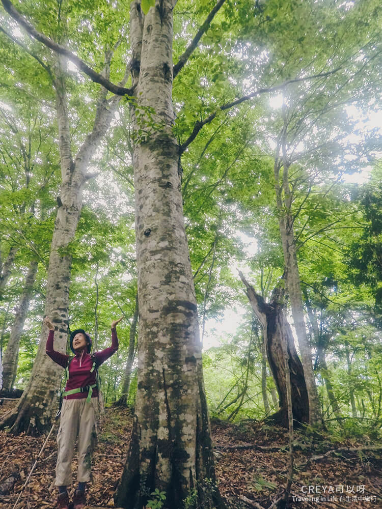
This trail isn’t long, and it’s flat and easy to walk. Towering beech trees block out the sky, and the woods are so lush it feels like a forest tunnel. You don’t come here to gaze at some million-dollar view — its beauty is simply itself.
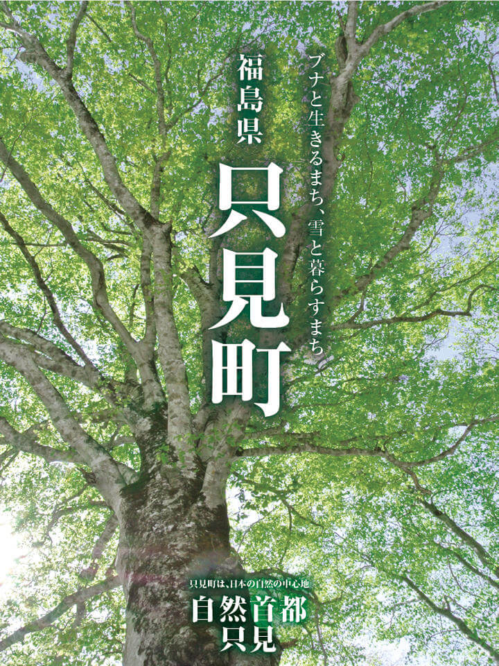
With help from the Fukushima Tourism Bureau, we arranged a mountain guide to lead us. Under Ms. Watanabe’s explanations, the character and history of the beech trees came into focus. The ecosystem in the forest seemed to tell its own life story, piece by piece. “Listen with your heart, and you’ll feel the message the mountain forest wants to send you.” That moment of being moved carried through into my feelings for Fukushima as a whole — the forest hike in Tadami Town became my favorite part of the entire Fukushima trip, and I want to share that experience with you.
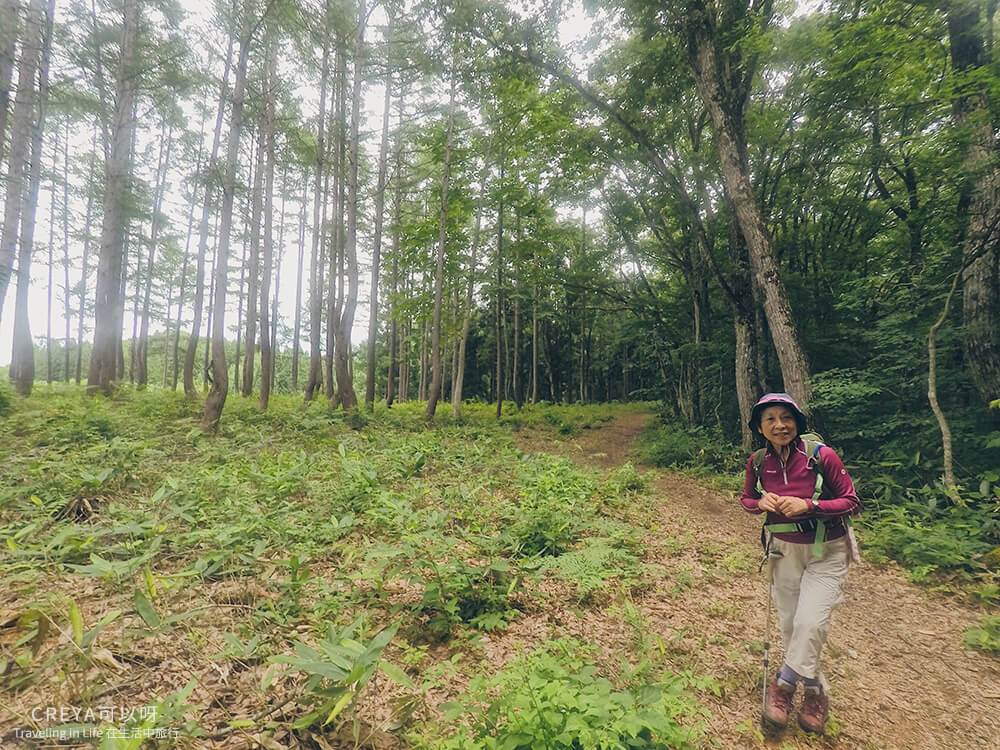
Ms. Watanabe, who loved skiing in her younger years, is today’s guide through the Healing Forest. About my height, she walks with a remarkably light, brisk pace — it made me hope that when I’m her age, I’ll still have a body just as healthy.
To introduce what makes hiking in Tadami Town special, let’s start with some background on the town itself.
Tadami: Japan’s first biosphere reserve, known as the “Capital of Nature”
Tadami Town is located on the westernmost edge of Fukushima Prefecture, within Minamiaizu District — roughly equivalent to saying “Tadami Town, Minamiaizu City, Fukushima Prefecture” in terms we’re familiar with. To its west lies Niigata Prefecture, famous for its rice, and beyond that is the Sea of Japan. In winter, the moisture-laden monsoon winds off the Sea of Japan bring heavy snowfall — the maximum snow depth here can reach 3 to 4 meters, with an average annual snowfall of 1,294 mm, making it one of Japan’s heaviest snowfall regions.
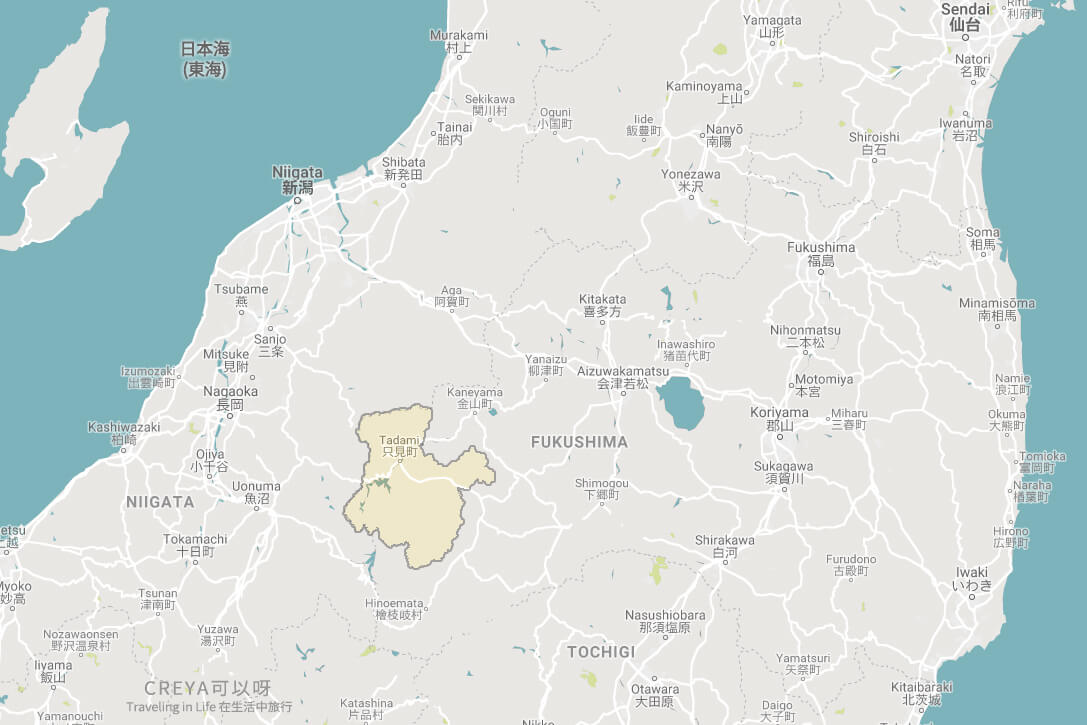
The yellow area is Tadami Town, on the westernmost edge of Fukushima Prefecture. To the northeast is Kaneyama Town, and to the west lies Niigata Prefecture.
Tadami Town covers 746.53 square kilometers, about 1.2 times the combined area of Tokyo’s 23 main wards, yet 90% of it is covered in forest, with a very low population density (total population was 4,245 as of October 2018). For several years now, like other rural areas in Japan, Tadami has faced population decline and aging, and its once-dominant agriculture has rapidly declined. But rather than merge with neighboring towns as many others have when facing this challenge of sustaining their communities, Tadami decided to chart its own course of urban planning.
So in the town’s 2006 development plan, Tadami defined itself as: “A town that coexists with snow, lives alongside the beech forest, and challenges itself to create true value from that.” In other words, Tadami would no longer pursue conventional urban development, but instead build on its existing natural environment and the unique traditional culture and way of life it has nurtured, developing an ecosystem where people and nature coexist.
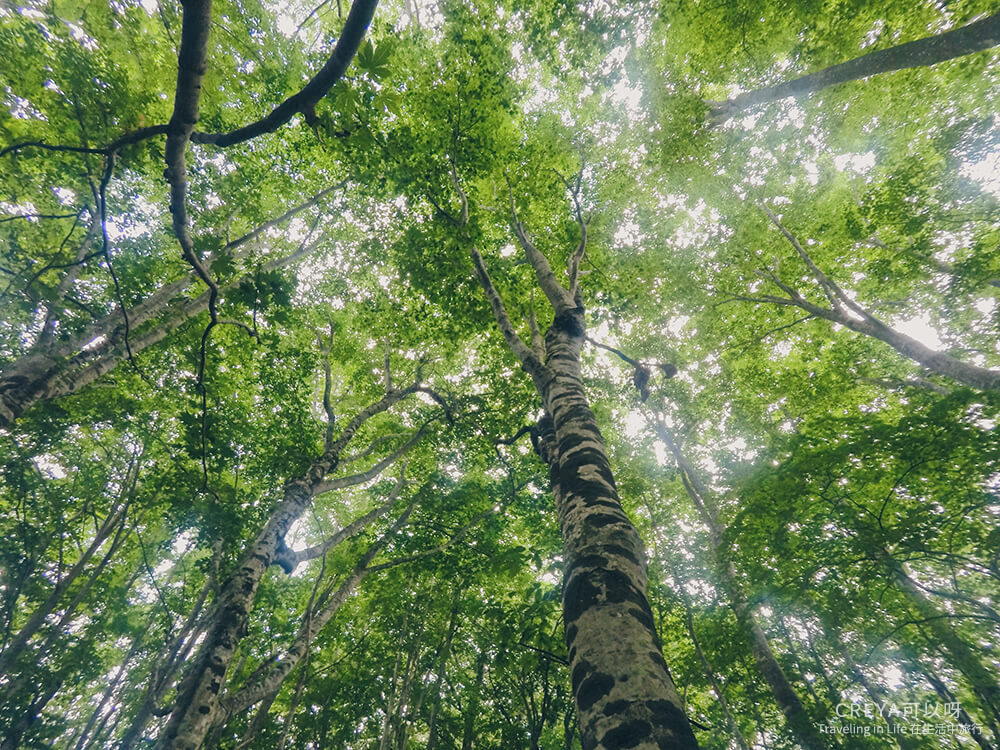
To put this into concrete practice, the following year Tadami applied to UNESCO’s Man and the Biosphere Programme (MAB) for registration, becoming the first place in Japan listed as a biosphere reserve. A biosphere reserve’s explicit goal is balance between humans and the biosphere — once designated, the ecosystem and biodiversity there must be protected. That’s how the name and pledge “The Capital of Mother Nature Tadami” came to be.
(Image source: Capital of Mother Nature Tadami App)
After officially becoming the Tadami Biosphere Reserve, the town was divided into three types of protected zones:
- The “core area,” off-limits to the general public and open only for observation and research
- The “transition area,” where people live and work normally, with environmentally conscious industrial development and sustainable economic activity
- The “buffer zone” sits between the core area and the transition area — it shares a similar natural environment with the core area, but allows public access for educational activities, and even recreation and traditional hunting
(Note: the zoning within a biosphere reserve is proposed and managed by the applying government body itself, submitted to UNESCO, whose role is to review and approve it. When Tadami’s biosphere reserve was registered, no new regulations were created specifically for it — existing relevant laws were used to define it, so it doesn’t create any new impact on residents.)
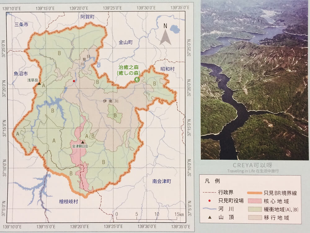
A zoning map of the Tadami Biosphere Reserve — the pink area is the core zone, the largest green area is the buffer zone, and the pale skin-toned area is the transition zone. Where I’ve marked the green hiking icon is roughly the location of the Healing Forest trail.
The Healing Forest we hiked in Tadami Town this time falls within the buffer zone. It’s also rated as a beginner-level route among the town’s several recommended hiking trails, suitable for families, and passable for the longest stretch of the year among them — making it a great way to get up close with the ecosystem of the Tadami Biosphere Reserve.
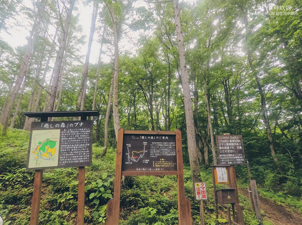
The trailhead of the Healing Forest
What the beech forest taught me
“This beech tree used to be one of the markers along this trail — it also marked the boundary between Tadami Town and Kaneyama Town. It fell five years ago, in 2013. Look up, and the wide stretch of open sky is all the space it once filled.” About half an hour into the Healing Forest trail, our mountain guide Ms. Watanabe pointed at a massive trunk lying across the ground. Before it fell, it’s estimated to have stood there watching over Tadami’s changes for more than 400 years — far beyond the usual 200 to 300.
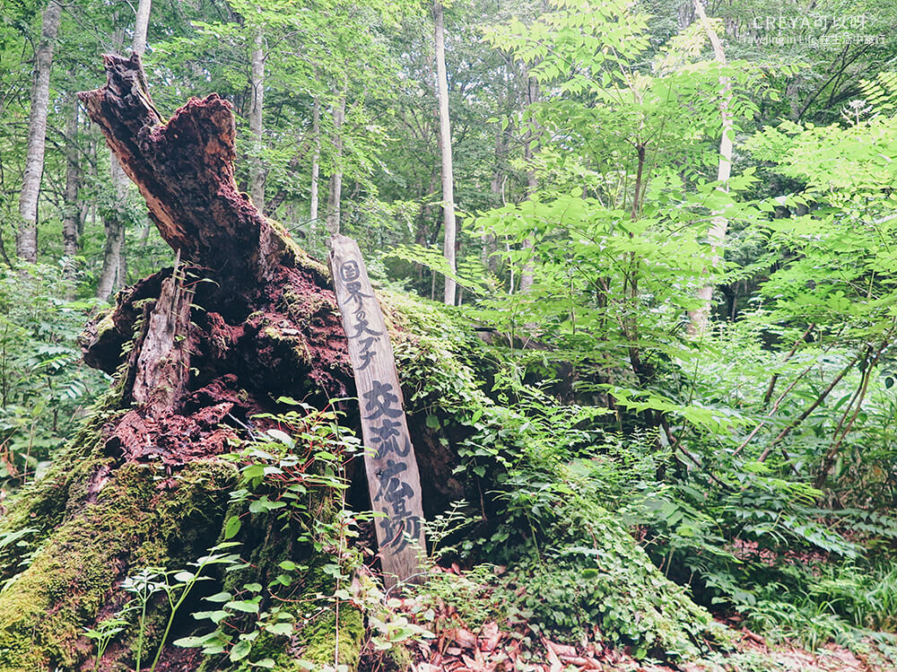
A beech tree with 400 years of life — when hikers in the mountains spot this sacred-tree-level beech, they know they’re about to enter Kaneyama Town
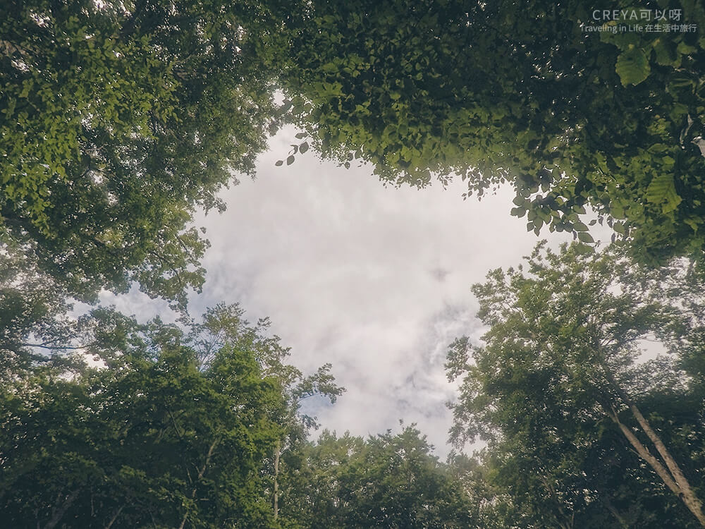
This was the brightest spot along the entire trail — looking up at this huge patch of sky, imagining how enormous that great beech tree must have been
A wooden sign stands beside its roots, marked in black lettering: “The Great Border Beech” (Japanese: 国界の大ブナ), testifying to its significance. Just as I was expecting the story to wrap up with something like “what a shame,” Ms. Watanabe continued: “Once it fell, the area it used to shade and draw nutrients from was freed up, giving new plants the chance to grow. And it itself became nourishment for the soil, feeding the next generation.”
“We humans are like that too, aren’t we?” said 66-year-old Ms. Watanabe softly, and those words echoed in my ears for a long while.
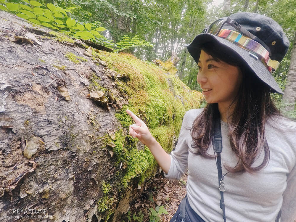
Even though the Great Border Beech no longer holds up a patch of sky, it has become part of the earth’s nourishment, and still radiates vitality
Lichen clings to the fallen trunk of the great beech, mushrooms spread their caps wide and claim their own territory, saplings stand tall around it, and the small patch of ground where sunlight streams through looks especially vivid green. One of those saplings will someday claim that patch of sky with the strongest growth energy of all, waiting through three hundred-some years for the next generation to rise, and so the cycle continues.
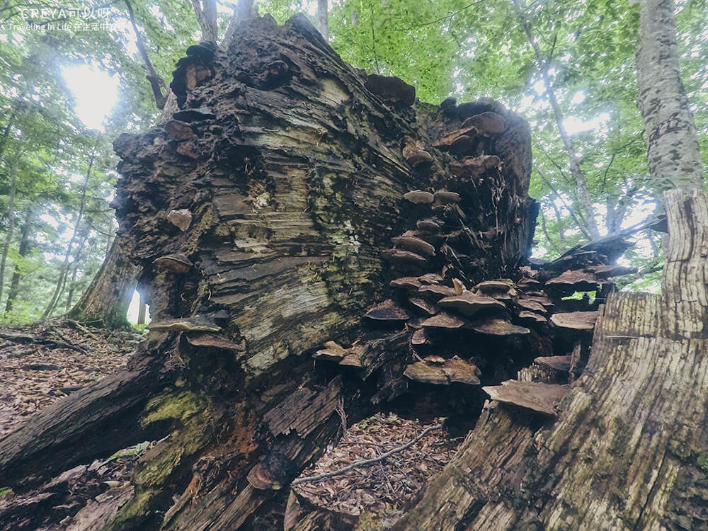
The fallen tree has become home to mushrooms
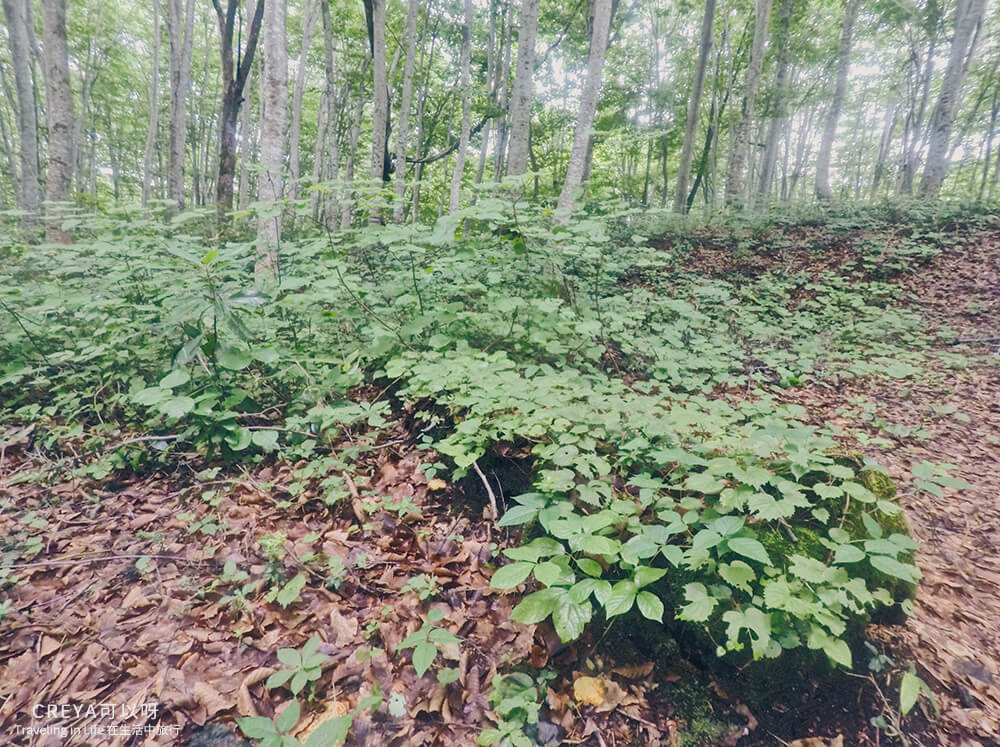
A small section of the trunk, wrapped in the tendrils of young saplings, now exists as something else entirely
The question stuck in my throat — whether its fall had been a big local event — went unasked, swallowed back down. No need to mourn it. It will become an even greater force, sustaining its existence in another form.
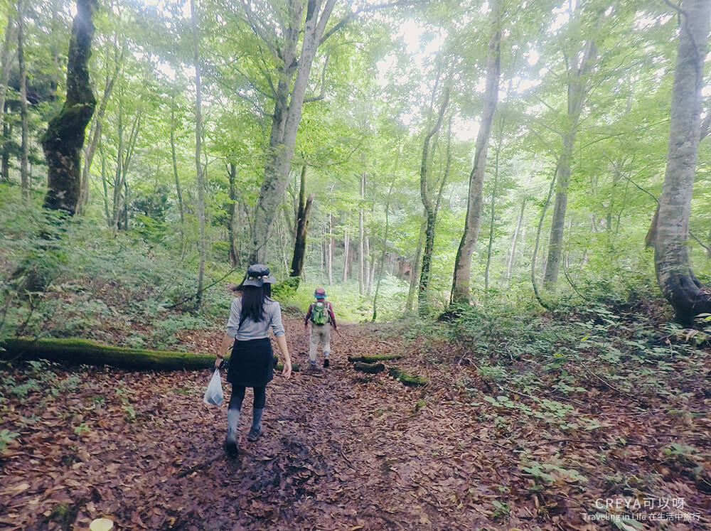
That’s the persistence and resilience of life
The Japanese beech, also called Fagus crenata, is widely distributed, found from southern Hokkaido, through Honshu, Shikoku, and Kyushu — a deciduous broadleaf species. In midsummer Tōhoku Fukushima, the air still carries a chill unless it’s a clear, sunny day, and walking through the mountain forest surrounded by towering trees is especially pleasant. Stepping on the brownish-yellow fallen beech leaves, the crisp rustling sound followed each step. Before I knew it, I was so absorbed in the rhythm of the forest that Ms. Watanabe’s gentle explanations seemed to blend right into the surroundings — I wondered, does spending long enough breathing in the forest eventually give you the voice of nature itself?
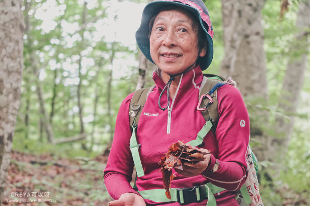
Ms. Watanabe scooped up a handful of fallen leaves from the ground: “Tadami’s excellent water quality owes a lot to these!” After rain and snow pass through the first filter of the beech trees and reach the ground, the fact that beech leaves don’t decompose easily makes them a natural water filter, preserving the resources nature gives into the soil, making this an important water-source conservation area. These seemingly withered leaves, even at the end of their life, still stand guard steadfastly, watching over the land.
Besides being affected by the Sea of Japan monsoon just like Niigata Prefecture, Tadami’s water source, filtered through beech leaves, gives it water quality and rice-growing conditions just as good as Niigata’s.
Ms. Watanabe then picked up a hard-shelled fruit — the spines on top were fuzzy and rather cute. The seed, wrapped in this thick husk, lets the beech quietly wait for the right moment to sprout in harsh conditions. Yet with a bumper crop only once every 5 to 10 years, and its endosperm rich in protein fat that makes it a delicacy to animals (bears and squirrels among the connoisseurs), plus saplings that on average only grow one meter taller every five years, on top of infighting for canopy space among its own kind and the scheming of parasitic or strangling plants from outside — all of this makes the beech forest before us feel all the more precious.
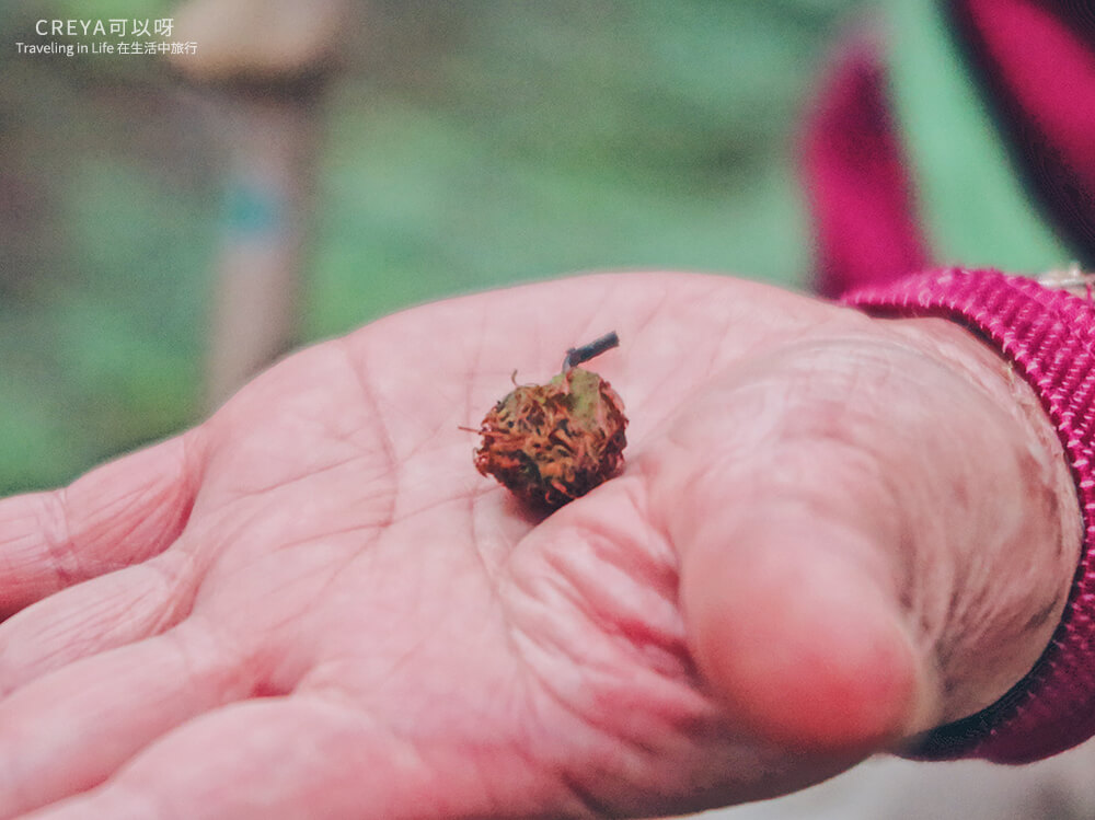
According to Wikipedia: the beech family, also called Fagaceae, produces nuts each containing a single seed — this kind of nut is specifically called a “cupule fruit”
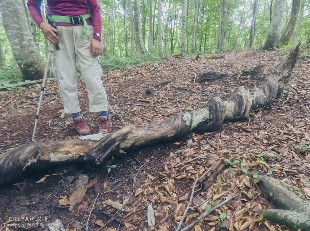
A beech tree that lost its battle against a strangling plant — a palace drama playing out in the forest
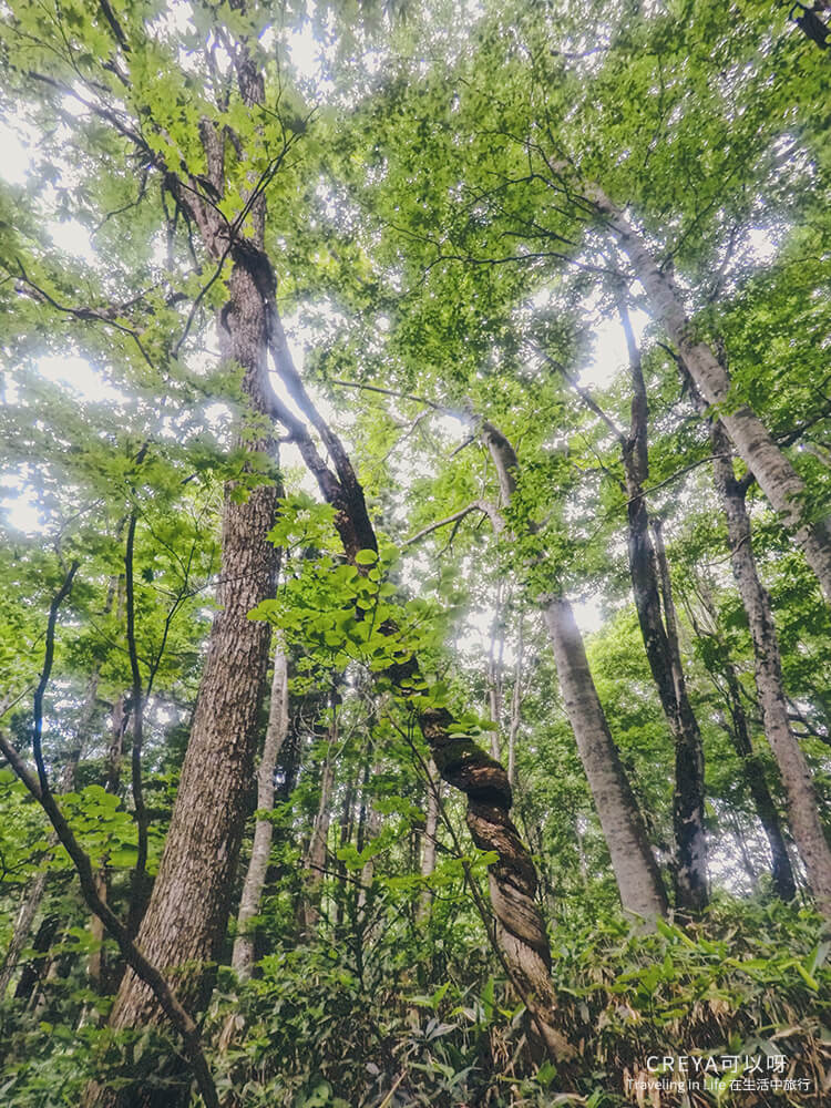
For now it looks like simple parasitic growth, but who knows if it’ll secretly kill its host one day
At this point, a beech that looked like a twisted braid appeared ahead. “It twists its own body, turning its stronger side toward the cold windward face, adjusting itself year after year, which forms that spiral shape.” At first I only noticed its unusual appearance; now I understand that’s the trace of it fighting to grow.
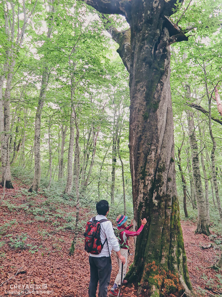
In the past, walking through mountain forests, I used my own feelings to sense what the forest wanted to say. Under Ms. Watanabe’s guidance, I began to understand each tree’s life story through its personality and its growing environment.
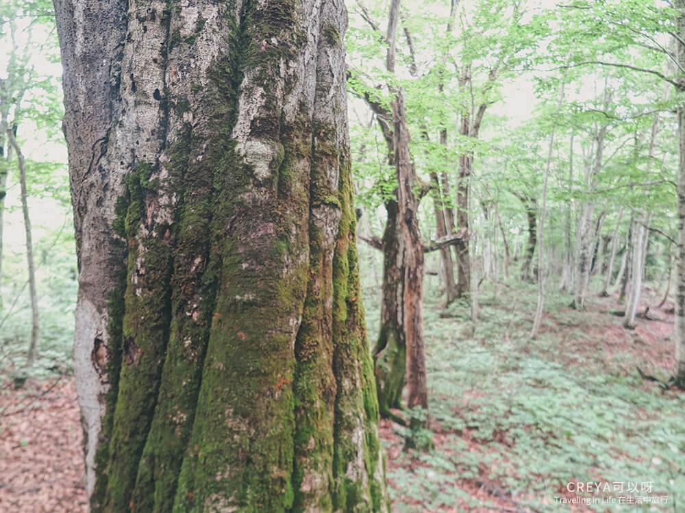
It felt, in that moment, as if the trees were alive and speaking to me
Along the trail we came across a beech that grew out of the soil in a strange, twisted shape, forming the letter “ㄣ” from Taiwan’s own Zhuyin phonetic system. It turns out this tree, pressed down hard by heavy winter snow, still insisted on growing upward even after being bent sideways — it just took a turn.
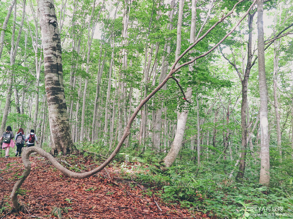
Where’s the ㄣ shape? Just walk around to the other side of the tree and you’ll see it!
The beech is anything but fragile — to claim territory in a place with snowfall as heavy as Tadami’s, it needs survival skills beyond those of an ordinary tree. Facing the harsh natural environment of Tōhoku, I saw the tenacious life force of plants and animals alike, refusing to give up as they root, grow strong, and hope once more to claim their own patch of sky — the beech trees, and the people of Fukushima, both.
(Note: Taiwan also has its own beech species of the same genus but a different species — Fagus hayatae, called the Taiwan beech, while Japan’s is Fagus crenata, meaning “serrated.” The Taiwan beech is mostly found in the northeast, including New Taipei City, Taoyuan City, and Yilan County — there’s a trail on Taiping Mountain in Yilan called the “Taiwan Beech Trail.” It’s shorter than the Japanese variety, which averages 30 meters tall, reaching only about 20 meters, and is a rare plant officially designated by Taiwan.)
The stage for winter’s contest of life
The full round-trip length of the Healing Forest’s regular trail is only about 2.3 km. After 50 minutes of walking, we arrived at the turnaround point almost without realizing it. “The trail ahead isn’t clearly marked anymore, so we won’t continue. We’re turning back here because I wanted to show you a hunting culture that exists in these mountains: the Matagi.” As soon as Ms. Watanabe said this, my heart leapt inwardly — while researching for our Tōhoku trip, the Matagi mentioned in the book Yamada Norio’s oral accounts of Japanese mountain folklore (translated roughly as Mountain Spirits) was one of the parts that had stuck with me most vividly.
The Matagi (also written 叉鬼 in kanji, Japanese: マタギ, pronounced “matagi,” a word from the Ainu language of Hokkaido’s indigenous people) refers to the traditional winter hunters of the Tōhoku region of Japan. In the past, besides bears, their prey included rabbits, Japanese macaques, and serows (now protected and off-limits), and they were mainly active in Hokkaido, Akita Prefecture, and Aomori Prefecture — the northernmost parts of Japan. Tadami Town’s hunting techniques were passed down from Matagi who migrated here from the Ani region of Akita Prefecture.
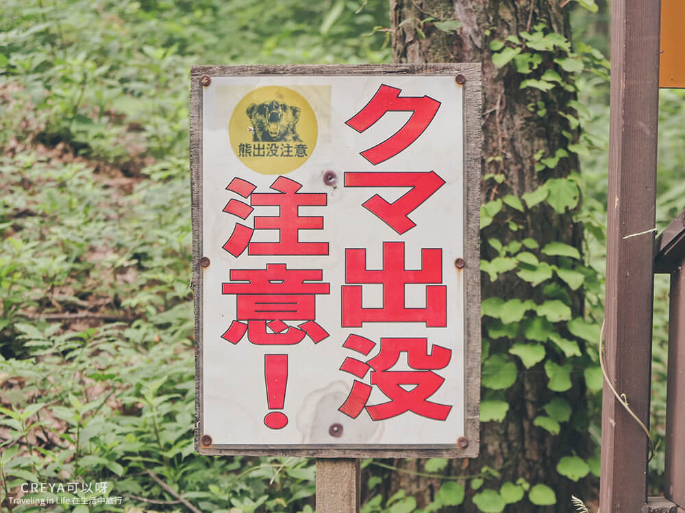
Speaking of bears — since beech nuts are one of the bear’s favorite foods, any forest with beech trees is a place bears might show up. There’s a “beware of bears” sign right at the trailhead of the Healing Forest. With enough people around, bears usually won’t want to cause trouble, but it’s still a good idea to carry a bear bell — Ms. Watanabe had one hanging on her backpack.
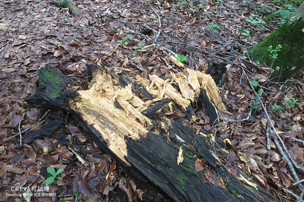
An unusual tree trunk along the trail — Ms. Watanabe judged it to be the mischievous handiwork of a bear
Winter roundups are smaller in scale, targeting serows and bears hibernating in their dens, usually with groups of about 3 to 5 people. In early spring, when animals have just come out of hibernation, the mountain snow hasn’t melted yet, so the movement of animal bodies — even their footprints — is much more visible. This is when the Matagi gather in groups to hunt in the beech forest, usually in groups of 8 to 10, or as many as 20 people for a large-scale roundup. Those called the “seko” (drivers) are responsible for chasing bears from the valley up the slope — bears have a tendency to flee toward the summit once chased. The “teppō” (shooters) carrying guns then stand at the top of the mountain, watching for the prey’s movements and taking the crucial shot.
Right at this moment, the spot where we stood was exactly where the “teppō” would take position for the strike. Looking at the broad slope of the ridge beside us, I could almost picture the prey and the fierce, determined seko charging toward me — my heart pounded, my brow furrowed, my eyes darted between the trees and grass on the slope, and my hands unconsciously clenched, waiting for the moment to pull the trigger.
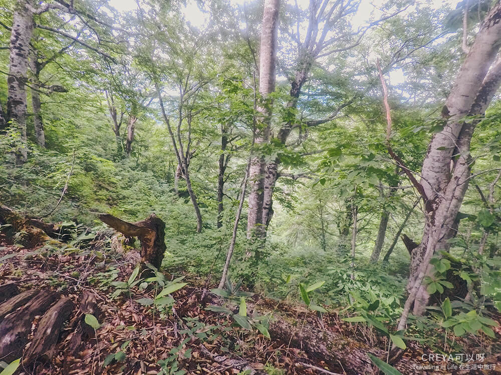
This is the exact view the “teppō” would have, looking down from the summit — and it’s really not easy at all! Because running up from the base of the slope is such an exhausting task, this kind of slope is also called the “Slope That Makes the Seko Cry” (Japanese: 勢子泣かせの峰)
You can’t simply equate the Matagi with ordinary hunters. After returning from Fukushima, I kept digging for more information about them, and I’ve come to feel the Matagi spirit resembles something like the spirit of the samurai — clear ethics and morals, and strict codes of conduct. They firmly believe in the existence of the mountain god, and that every catch is a gift from that god. Because they must live so closely and for so long alongside the mountain forest, they treat life with greater care; because they constantly sense the presence of life around them, nature is always within their field of vision.
This video discussing the Matagi spirit is one of the few pieces I found with Chinese subtitles, an interview with Mr. Akio Inomata of Fukushima’s Kaneyama Town — the very town bordering the Healing Forest in Tadami:
There’s a passage in Yamada’s book of Japanese mountain folklore that reads: “In the mountain forest there are countless animals, plants, insects, and hundreds of billions of microorganisms, which at the same time means hundreds of billions of deaths. Here, life and death remain forever in balance, and any human who sets foot here must also face that eternal natural law of life and death.”
In nature far from human settlements, whether human, bear, or even a single tree or blade of grass, every encounter is a wager of life staked between two beings, each in their own form. And it’s precisely because of this that, deep in the mountains, every one of them shines with the brilliance of life.
(Note: due to shrinking forest land, hunting restrictions, complex legal procedures, and social and economic changes, among other factors, the once-numerous Matagi are now rapidly disappearing — they may well be the next group to go extinct in Japan’s mountain forests.)
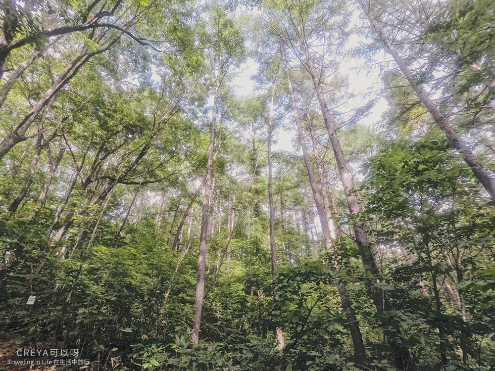
Healing Forest hiking information
Trail name: Healing Forest (Japanese: 癒しの森)
Length: 2.3 km round trip; you can turn back at “Seko Nakase no Mine” or “Ōmata no Toitayama Nagame” and retrace your path
Time needed: 1.5–2 hours
Location: Matsuzaka Pass trailhead, Tadami Town, Fukushima Prefecture, Japan
Best season for hiking: mid-May through around mid-November, before the snow falls — not suitable when snow covers the trail in winter
Difficulty: beginner level, flat and easy walking, with the occasional slope — no problem if you take it slow
Suitable age range: from young to old; children aged 4 and up are fine as long as a parent comes along
Elevation: 645 m at the highest, 602 m at the lowest
Elevation gain: about 43 m
Recommendation: the path is mostly clear, but there’s one short stretch in the middle that’s a bit hard to follow — you can use my GPS track as reference, or hire a local mountain guide. We hiked withMs. Watanabe(click the link for a guide introduction and booking), though bookings and explanations will be in Japanese. If you need help booking in another language, you can jointhe Rijoyu LINE communityfor free assistance and discussion.
This is probably the steepest slope on the whole trail
References: Tadami Town UNESCO Ecopark, original Japanese print materials / various Japanese-translated books and manga / Wiki JP – Biosphere ReserveWiki JP – Biosphere Reserve / Wiki JP – ブナ / Wiki JP – マタギ
Follow my Facebook page


