


⏲ Travel period: September 2022 | 23.8 km on Day 1, nearly 11 hours on the move
I opened the gear cupboard and took out my headlamp, first-aid kit, and trekking poles one by one, packing them into my backpack with practiced ease. Things I would need on the move went near the top, things for the night went at the bottom, and light, bulky items went higher up. Every movement felt as natural as a reflex. With each item I packed, a thought flashed through my mind: “It is only three days. It will be fine!” “Should I bring Lele? But dogs are not allowed where I am staying…” “Maybe I should go next week instead. Perhaps my friends will be free?” Nervousness and fear may have been reflexes too.
I had once set out alone on New Zealand’s 3,000-kilometre trail, yet three days of walking in familiar Taiwan could make me this anxious.
In recent years, most of my trips to Miaoli had been for camping. After sitting in a car for several hours, I would reach a campsite around 1,000 metres above sea level, build my little mountain home, cook the ingredients I had brought from Taipei, then collapse into a chair and do absolutely nothing, as far away from the human world as possible.
Miaoli was still unfamiliar to me.
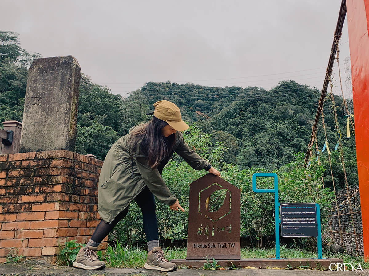
What was more, the hiking reports about the Raknus Selu Trail had once made me consider adding a sickle to my gear list. The Thousand Miles Trail Association said the trail conditions had improved greatly, but there were not many recent accounts. Even with a daily itinerary planned, the route was still full of unknowns.
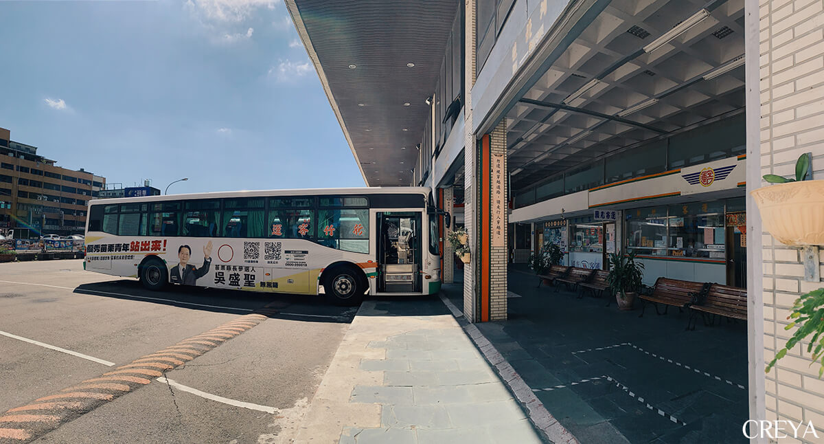
“If all else fails, I can walk back to the road and escape by bus!” Sitting on the bus toward Provincial Highway 3, I tried to give myself an exit so I could relax a little. I remembered thinking the same thing before setting foot on New Zealand’s Te Araroa Trail.
“Good morning! Are you going hiking?” The driver’s friendly greeting interrupted my spiralling thoughts. “I am going to walk the Raknus Selu Trail.” The moment I said aloud what had only existed in my head, my direction became clearer.
Xin An Hall in Tongjing Village
First I went to the Raknus Selu Trail station, the little blue house in Shitan, to meet Mr. Li Yeh-hsing. After joining a few local activities, I headed to Sanwan, the starting point of my walk.
Tongjing Village was once called Tongluoquan, named for terrain shaped like an overturned gong. Leaving Sanwan Old Street and Provincial Highway 3, I climbed a small slope and arrived at this Hakka settlement, a little world apart.
There are not many guesthouses around Sanwan, so I was especially excited when I found Xin An Hall: a traditional Hakka sanheyuan courtyard house about sixty years old, converted into a hostel. Its operator, KANG, and I shared the same experience: we had both spent two years on working holidays in Australia, so we immediately had plenty to talk about. After returning home, KANG saw this neglected space, damaged in many places, and decided to use his skills to restore it, bring people back, and let the old house continue to live.
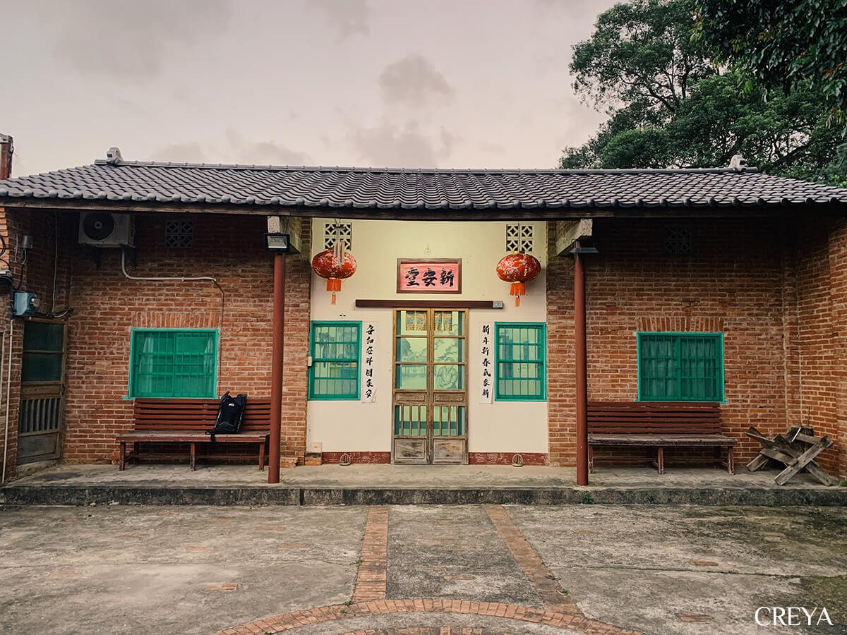
Behind the wooden sliding doors was a warm home furnished with objects from another era. The name above the doorway marks a Hakka family’s surname and origins. Ask a Hakka person, “Which generation are you?” and they can usually answer. This devotion to remembering one’s roots left me, a Hoklo person, wide-eyed.
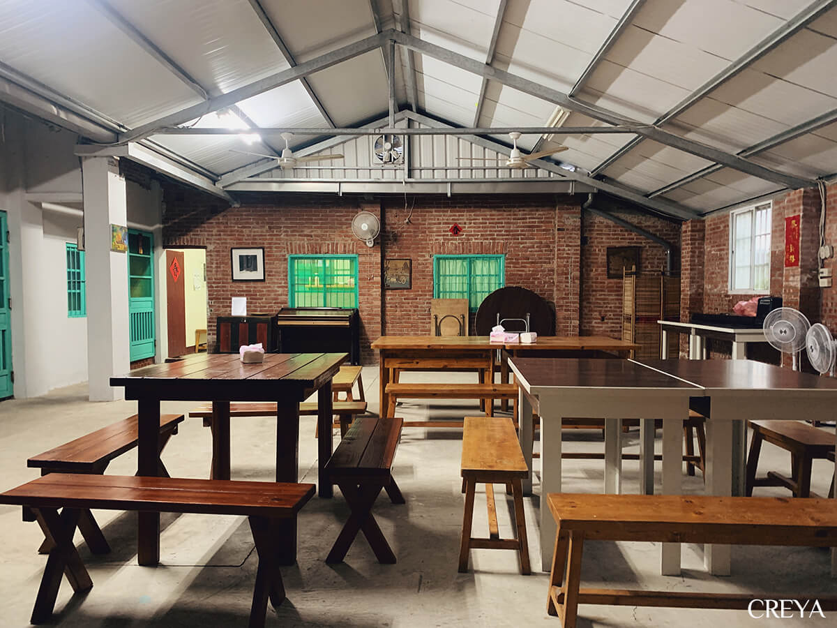
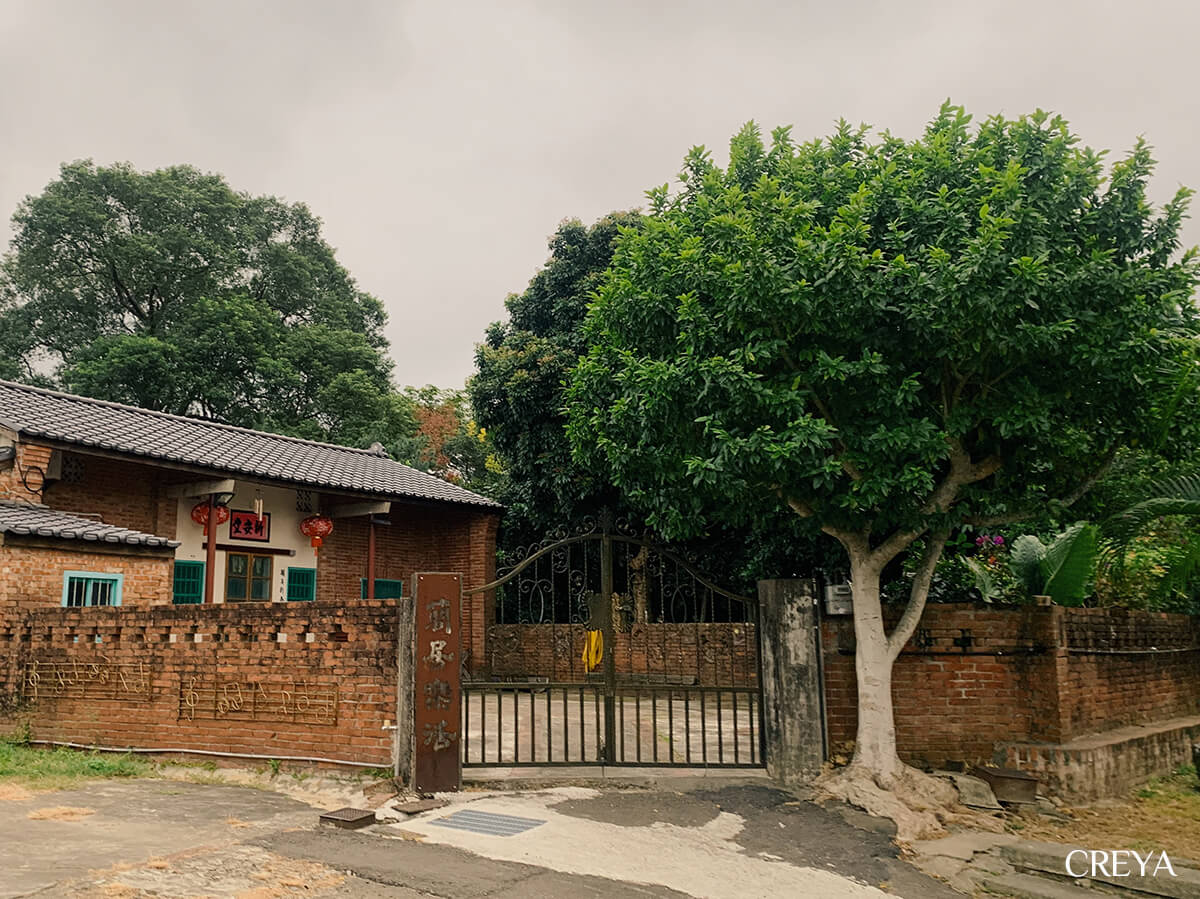
Xin An Hall has a spacious courtyard out front, where the night sky is full of stars. I had the entire house to myself on a weekday. At night, Tongjing Village held nothing but the sound of insects. After a deep sleep, my mind and spirit were fully charged for the journey ahead.
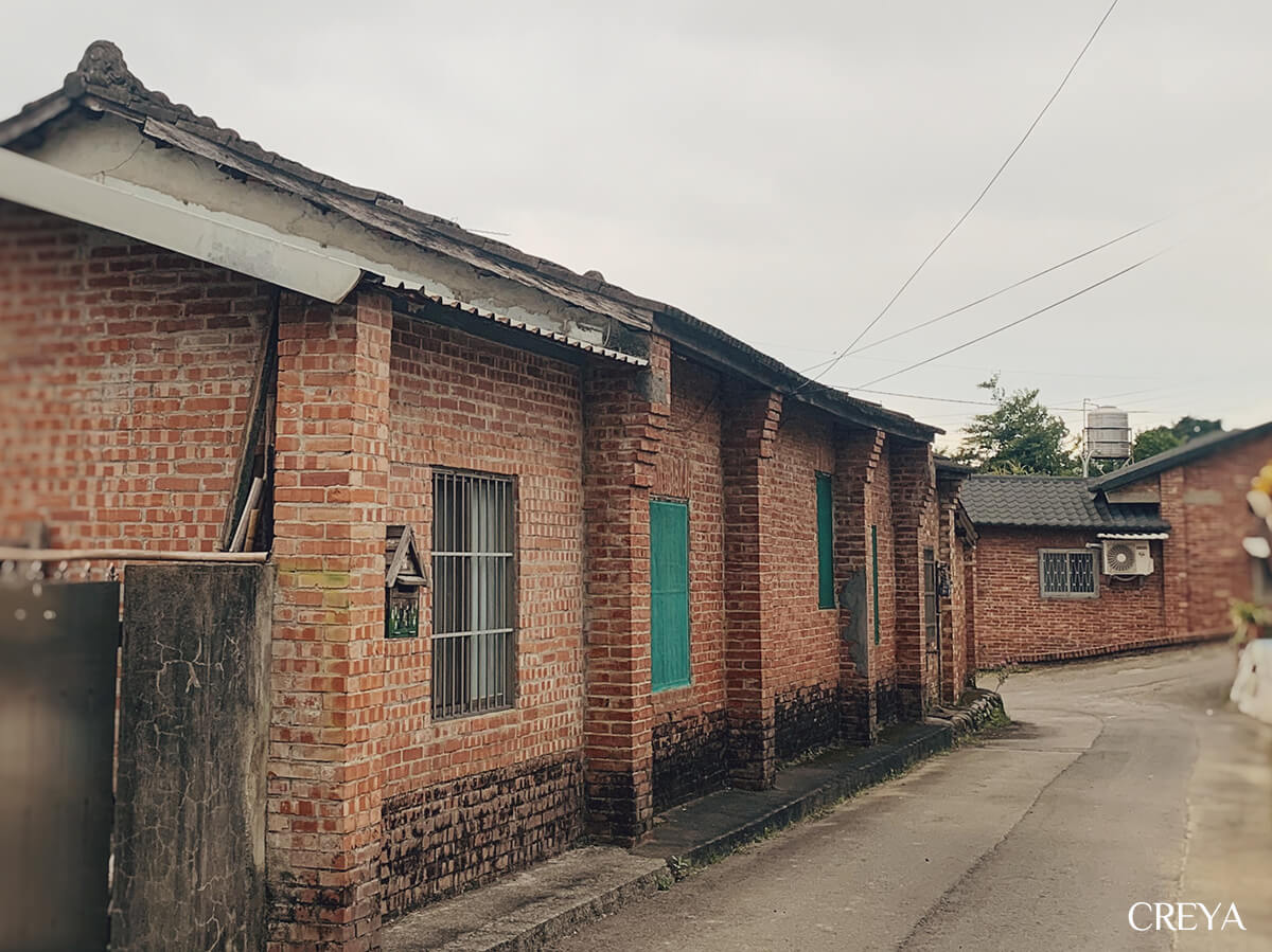
Sanwan Old Street
With my backpack on my shoulders, I left Tongjing Village, still wrapped in silence. As my feet carried me onward, the sound of running water and traffic grew louder. Sanwan Township is named for its position at the third great bend in the curve of the Zhonggang River. I watched the water flow beneath my feet, crossed the pedestrian bridge, and officially set foot on the Raknus Selu Trail.
I had walked less than two kilometres when I stopped and slipped into a breakfast shop on Sanwan Old Street, taking off the backpack I had carried for less than half an hour. Officially, I was fuelling up for the nearly 25 kilometres ahead. Perhaps the real need was to delay the moment I had to face the unknown route.
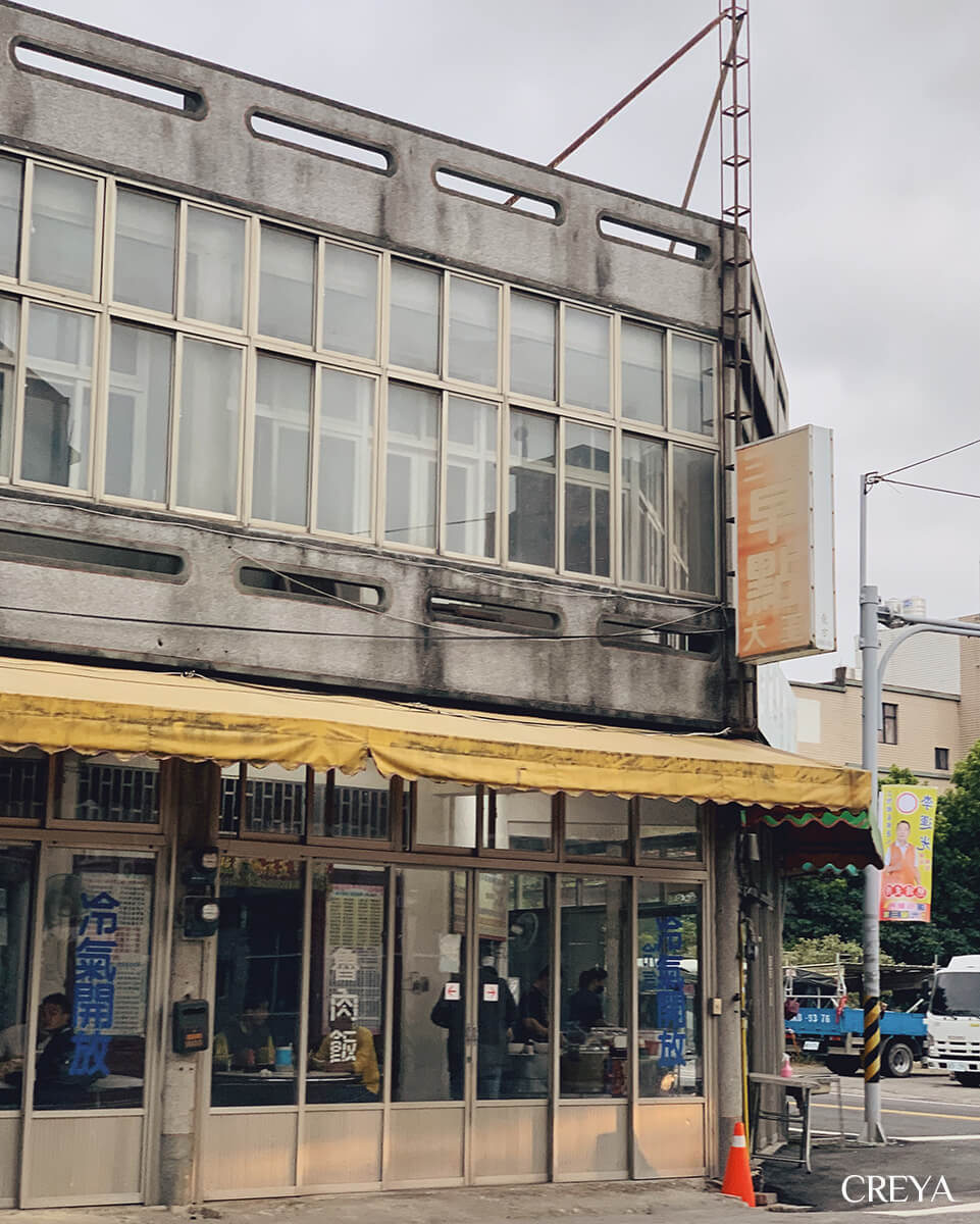
The men sharing tables spoke Hakka while eating fried noodles and lu rou fan for breakfast. This was the local workers’ refuelling station before the day began. My egg pancake and black tea looked rather flimsy by comparison.
The two trekking poles sticking out behind me caught the owner’s attention. “I have heard of the Raknus Selu Trail. A group of young people was preparing to walk it a few years ago!” He brought me a bowl of miso soup I had not ordered. The small bowl held eight pieces of tofu, along with his words of encouragement. I lifted it like a local and drank something hot and savoury in the morning. It filled more than my stomach.
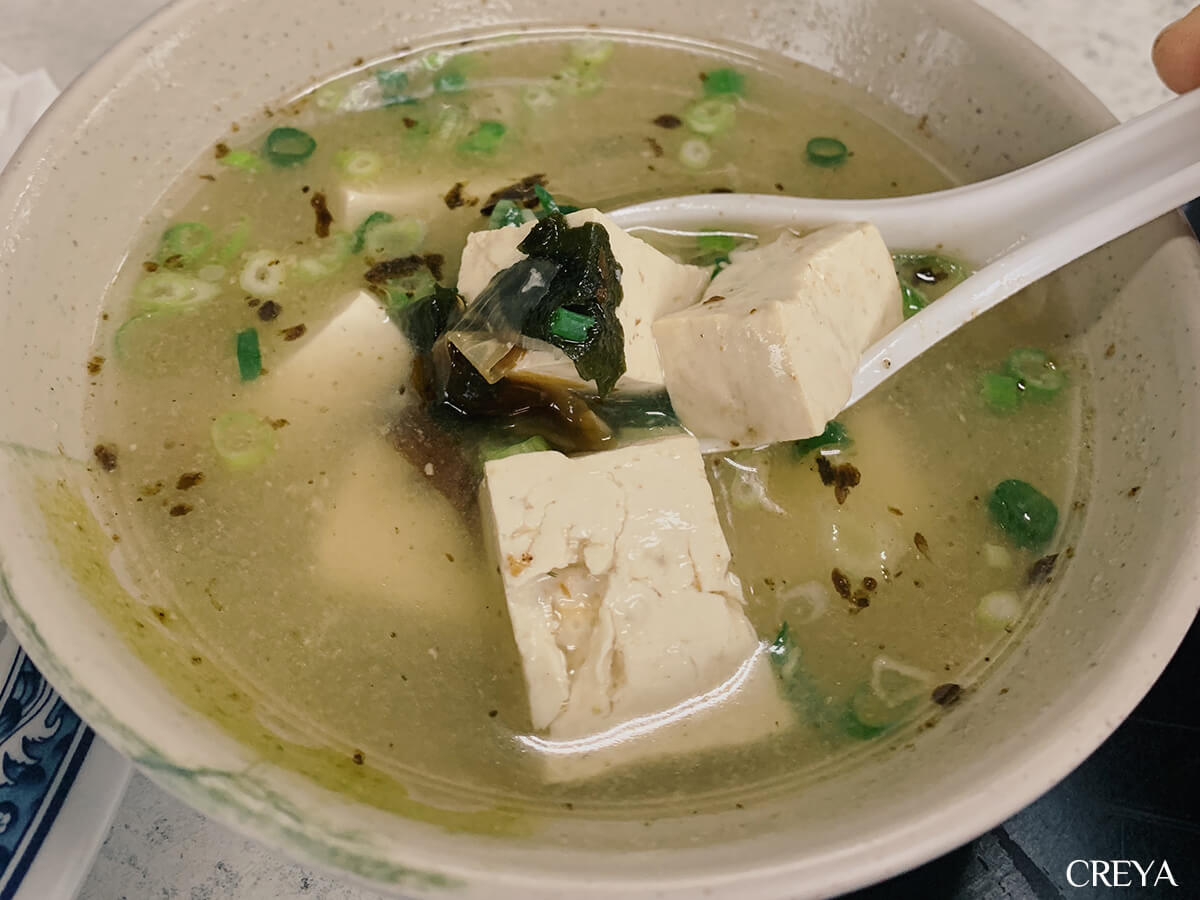
Before leaving, I promised him I would use my trekking poles for self-defence if I ran into danger, then continued toward the mountains.
Longnanding Trail
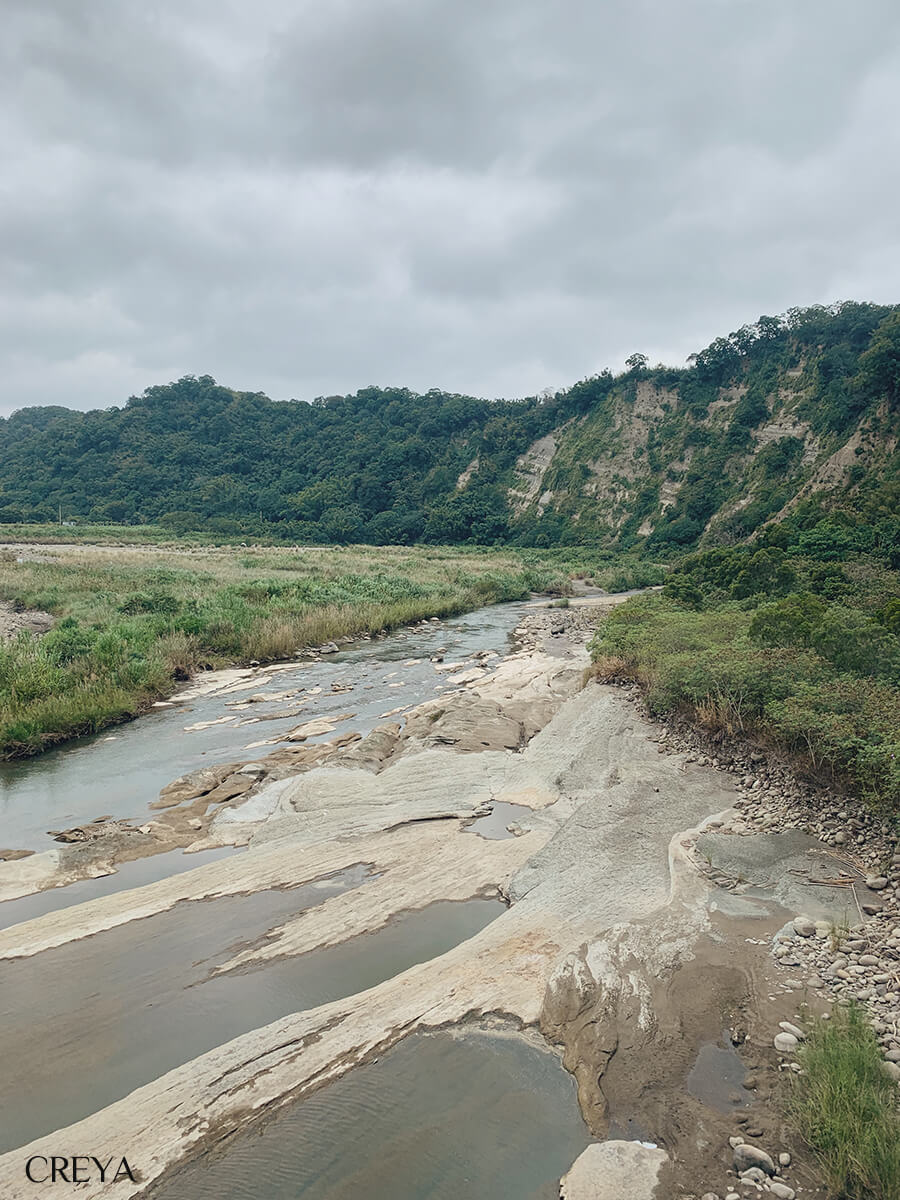
I walked along the road from Sanwan toward the trail. Traffic was not heavy in the morning, but crossing the road at a bend before the trailhead still made my heart race. Then I stepped onto the first trail section of the trip: Longnanding Trail, almost entirely surfaced with sleepers and paving tiles. I usually dislike artificially paved mountain paths, but this gentle face was exactly what I needed.
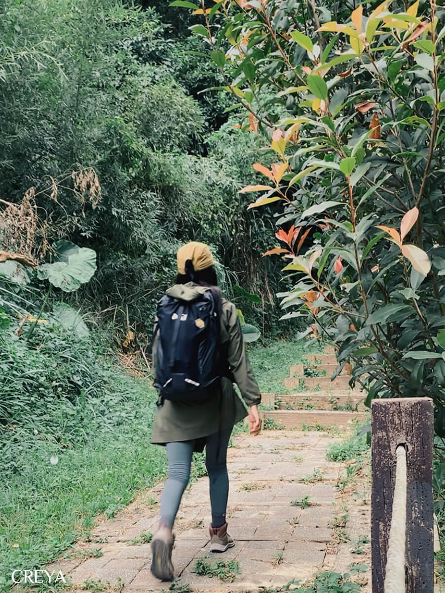
It was eight in the morning. Thick clouds kept the warm sun behind them. Not long after climbing Longnanding, which represents Sanwan’s dragon vein, I stopped and looked through a gap in the trees at the small town of Sanwan encircled by streams. On a weekday morning, I was the only person on the trail, but I carried plenty of warmth and blessings from down there.
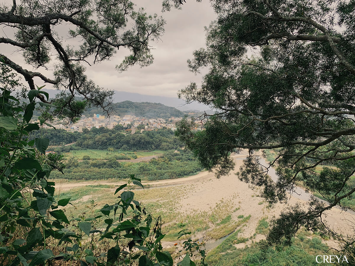
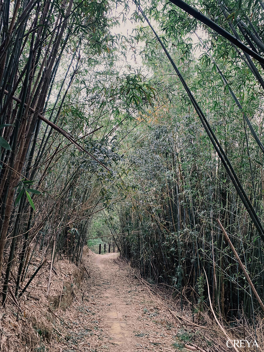
In Longnanding, long refers to a dragon vein, while nanding in Hakka describes the slope of a low hill. Longnanding is the summit along Sanwan’s dragon vein. This path was once a route for ancestors to exchange goods with neighbouring villages, a defensive line between Indigenous people and Han settlers during the Qing dynasty, and an alternative school route before Sanwan Bridge was built, when students could not cross the deep water. Walking between green trees and bamboo, welcomed by nature on both sides, this opening 1.5 kilometres was a perfect warm-up for several days of walking.
Sanlianpi
I left Longnanding at the Beipu trailhead and joined a paved farm road. The surroundings changed to fields and orchards. All the way to the Sanlianpi Bikeway, I walked on surfaces made by people, yet never encountered another person.
A road is clear and certain, marked by human hands. Follow it long enough and eventually you will meet someone, which lets me feel safe and steady. A mountain trail hides the unknown: every possibility, unseen forces, perhaps even a path that leads nowhere. The unknown brings unease, but it also lets me feel comfortable and free.
So I kept searching between the two. The route design of the Raknus Selu Trail does the same.
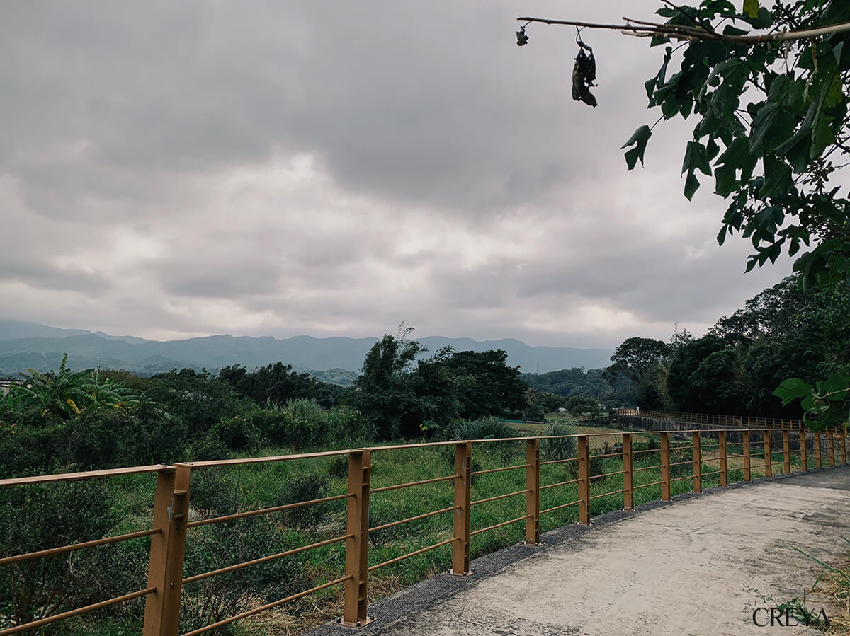
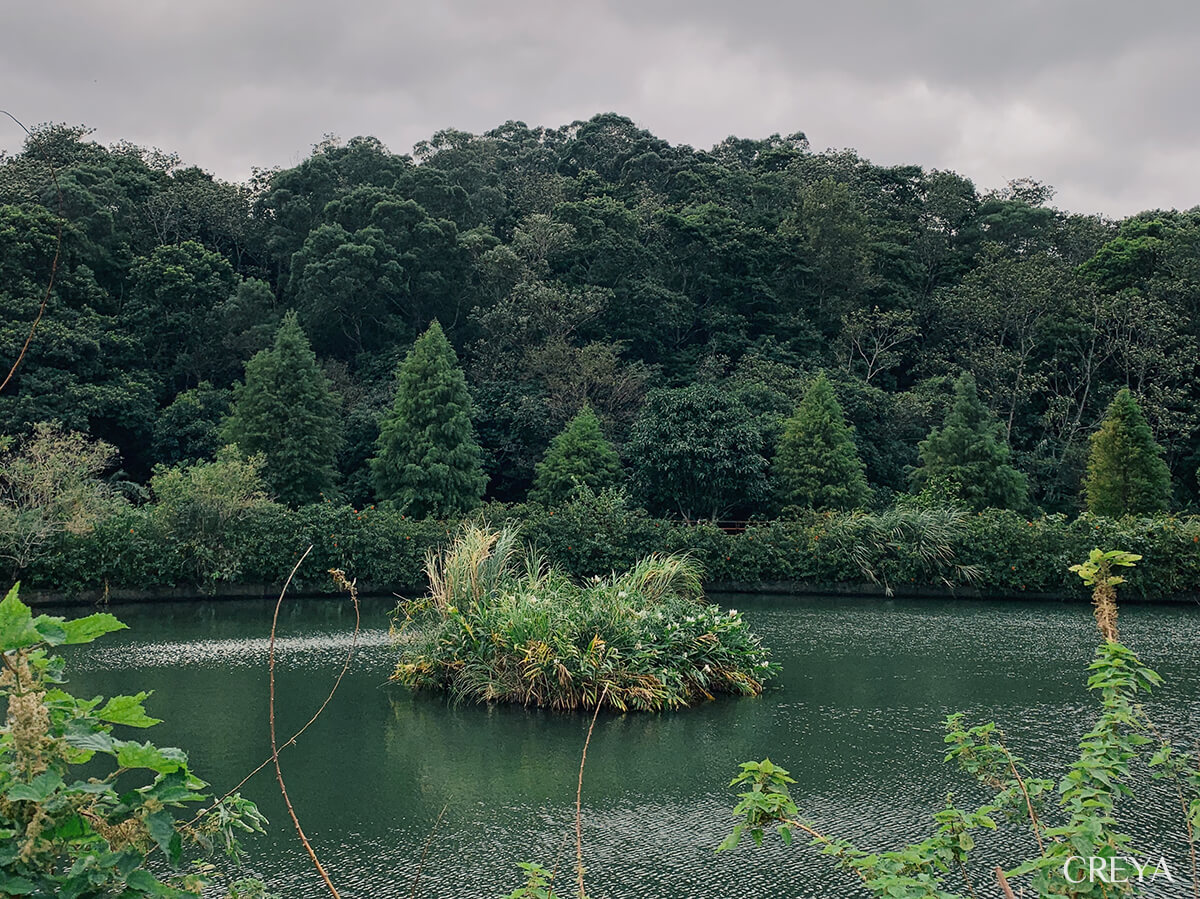
Sanlianpi is the only remaining pond in Beipu. It is made of three connected pools: Guanyin Pond, Liwu Pond, and Dahuangpu Pond. In earlier rural communities, when the terrain offered no stable water source, residents dug ponds to store water, irrigate fields, and raise fish, weaving them closely into daily life. After agriculture declined, the ponds were abandoned and forgotten until recent tourism efforts brought them back into view. The Raknus Selu Trail led me along about a kilometre of lakeside cycleway, looking across fields and lingering between the mountains.
Lao Chonggui Historic Trail
Before turning onto Lao Chonggui Historic Trail, I finally heard people talking. Already a popular leisure hiking route, Lao Chonggui gave me companions for my first day. A century ago, though, Lao Chonggui was anything but easy and carefree.
Chong means an old-style firearm, while gui means a storeroom in Hakka. Lao Chonggui was once a fort with an earthen cannon, serving as a local ammunition depot. From the Qing dynasty onward, Han settlers repeatedly clashed with the Indigenous people living here as they cleared the mountains. Han communities built defensive passes on the higher hills. During the Japanese colonial period, people entered the mountains in large numbers to extract camphor, extending the Qing system by building a line of guard posts. Lao Chonggui Historic Trail was opened in that context; guards and bunkers once stood along the ridge.
As times changed and defence was no longer needed, the historic trail became a mountain route for people to transport goods until Provincial Highway 3 opened. Today, Lao Chonggui is an approachable stroll through the hills, with gentle ups and downs. Along the way, tags identify camphor, tung, eucalyptus, tea, and many other trees.
I quietly followed the footsteps and conversation of the people around me, walking on a trail restored with natural methods beneath a green-tunnel canopy. A mountain path that has become a road can never look exactly as it did in the beginning. Yet however a path changes, every piece of land carries its own historical footprints.
Dahe Village
After leaving Lao Chonggui, the route returned to Provincial Highway 3. Here a person becomes tiny. I could only make my body and backpack as small as possible, reducing myself to the edge and leaving the road to the cars roaring past.
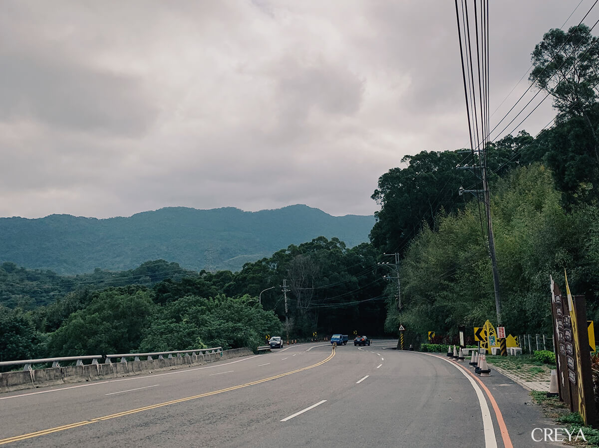
Following the GPX, I turned onto a small road and left Provincial Highway 3. The traffic thinned noticeably. Low houses appeared on both sides. This was Dahe Village, once called Dahedi because it sat in a lower section of the Nangang River valley. It had once prospered on cutting camphor trees and distilling camphor oil. As industries changed and people moved away, even the elementary school was closed. If I had not taken the Raknus Selu Trail, I might never have lingered here.
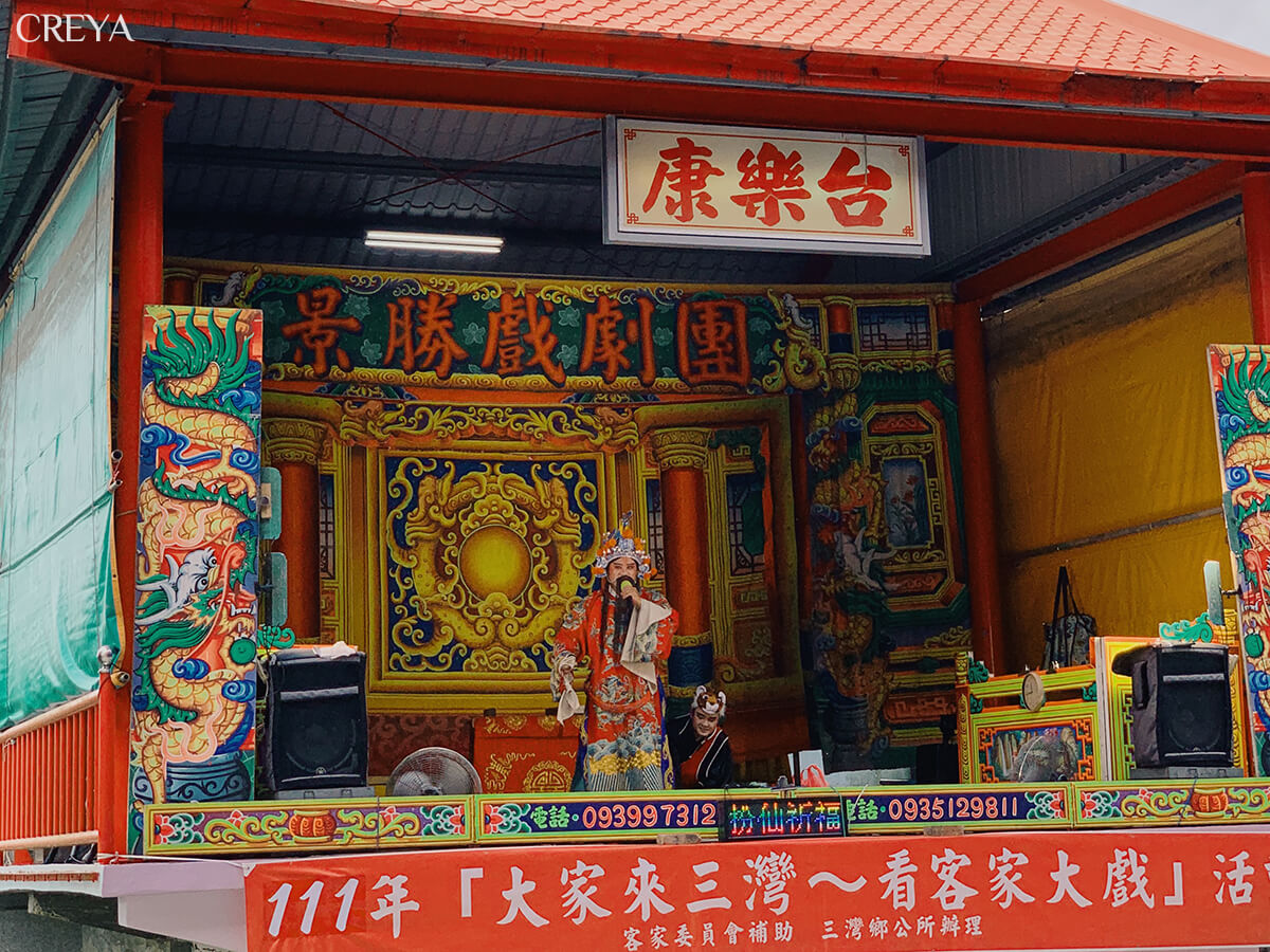
What stopped me was the sound of a traditional outdoor opera coming from the village.
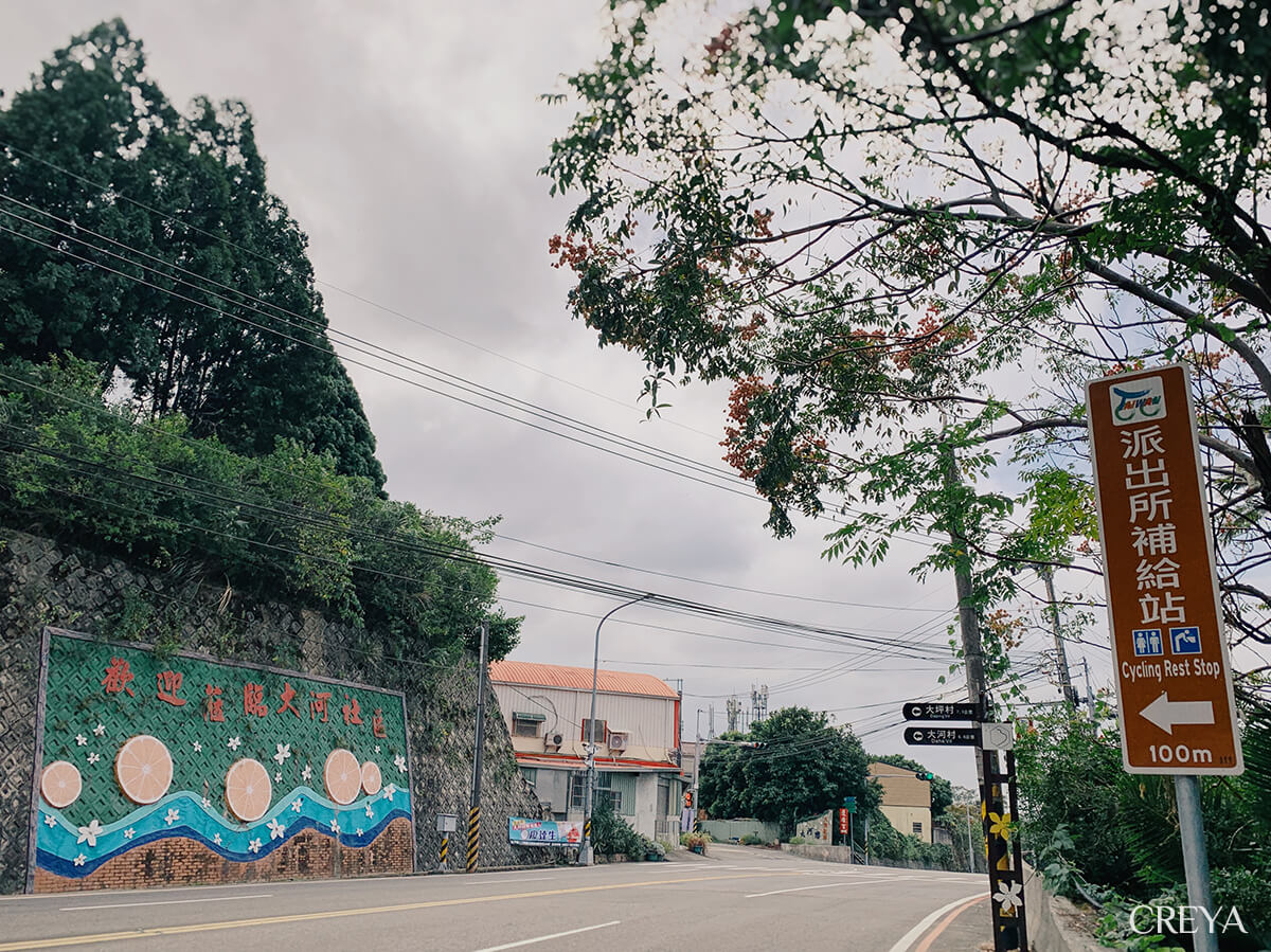
The stage was not on my route, and I craned my neck toward the sound, hesitating. There was still a long way to go before dark, but the stage I had seen the day before outside Shitan Yimin Temple had awakened my longing for local folk theatre. This chance encounter felt like a wish come true. A few seconds later, I left the line drawn by my GPX and walked toward the Dahe Community Activity Centre.
I climbed a small slope and crossed the crowd in my conspicuously foreign-looking outfit. In front of Lianzhuo Temple, the stage was presenting a Hakka opera for the harvest season. I stared at it. The story unfolded in Hakka, which I could not understand, while the instruments rang with bright, clear rhythms. Memories of sitting beside my grandmother to watch Taiwanese opera layered themselves over the sounds. I could not understand the words, but the lights, music, and gestures held my eyes to the stage.
Before I returned to the trail, a resident warmly invited me to share the event lunchbox. I had to decline because of the time, but continued with a heart that felt full.
Er Liaokeng
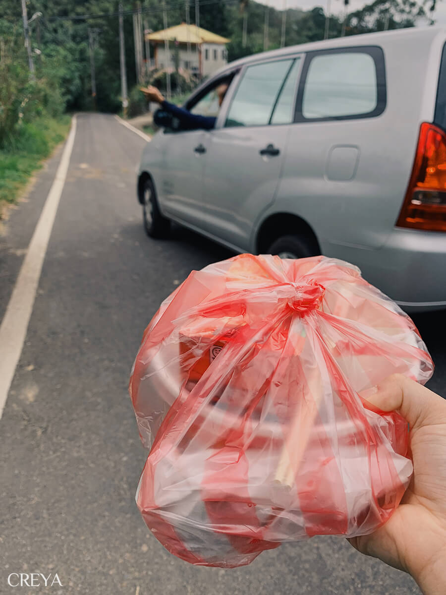
I stepped onto the farm road leading to the Er Liaokeng trail when a car suddenly stopped. The people inside pointed out the way, asked whether I had eaten lunch, then handed me a red-and-white striped plastic bag containing an event lunchbox from the stage. This time, I accepted the piece of fate that had caught up with me.
Starting from Sanwan, the route passed through low-mountain historic trails before returning to the inland road of Provincial Highway 3, circling the settlements. I followed the asphalt, a product of the modern world, packing the warmth of the people I met as a souvenir, then followed the old paths deeper into nature.
Er Liaokeng was the most deeply wooded trail section since I left Sanwan. At the end of the farm road, the sky disappeared. The route continued onto a dirt path pointing toward an open ridge. As I climbed, I thought about the orchard I had just passed and the enormous pomelos hanging down, making my mouth water. But the winding, many-branched trail forced my attention back to reality.
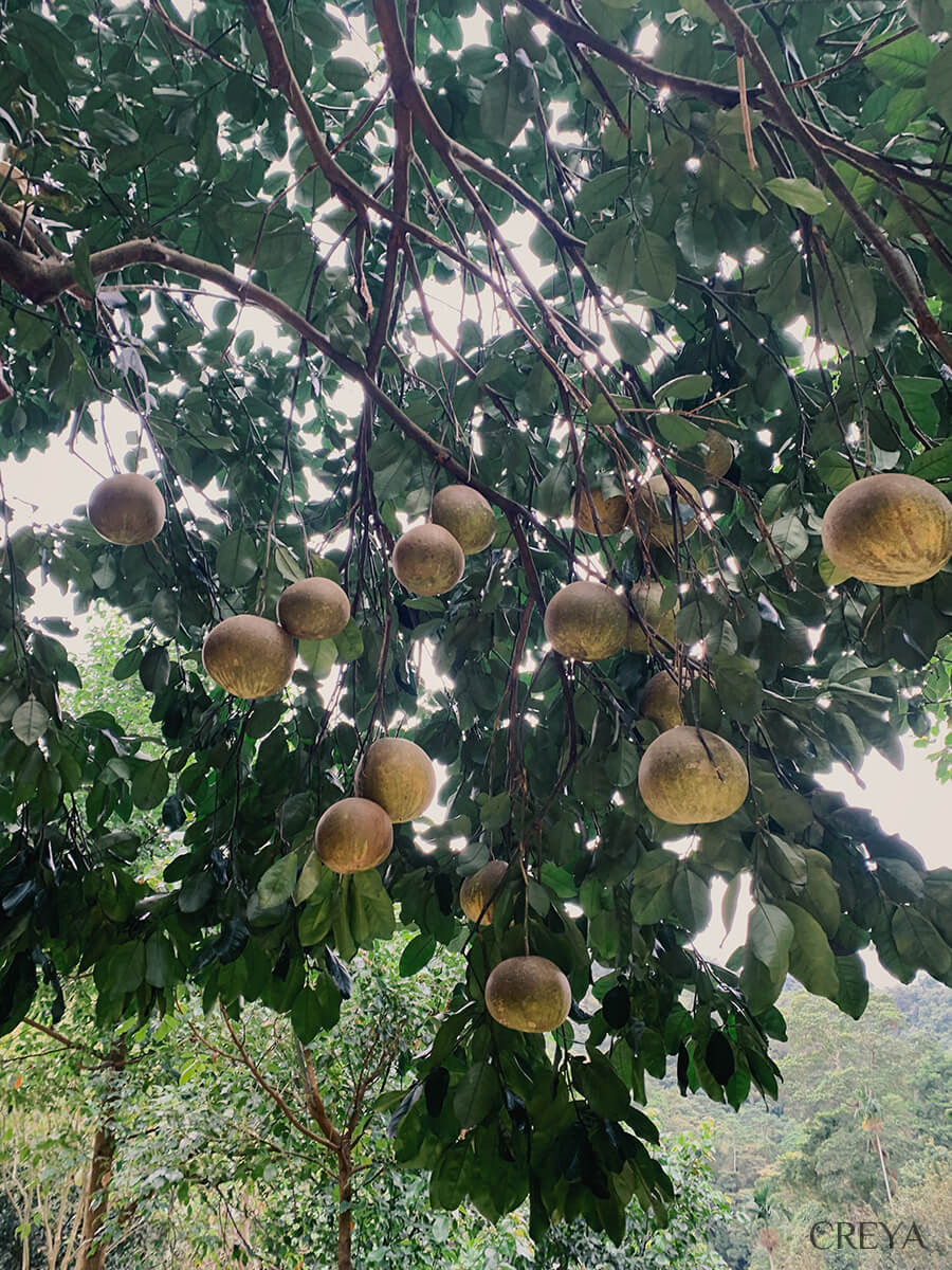
Mr. Li Yeh-hsing had reminded me to rely on an offline GPX map for this section, and I could still hear the Dahe Village police officer advising me to take a detour. I focused even more closely on the GPX route. Then, in one quiet and concentrated moment, the startled cry of a Formosan muntjac made me hear my own heartbeat.
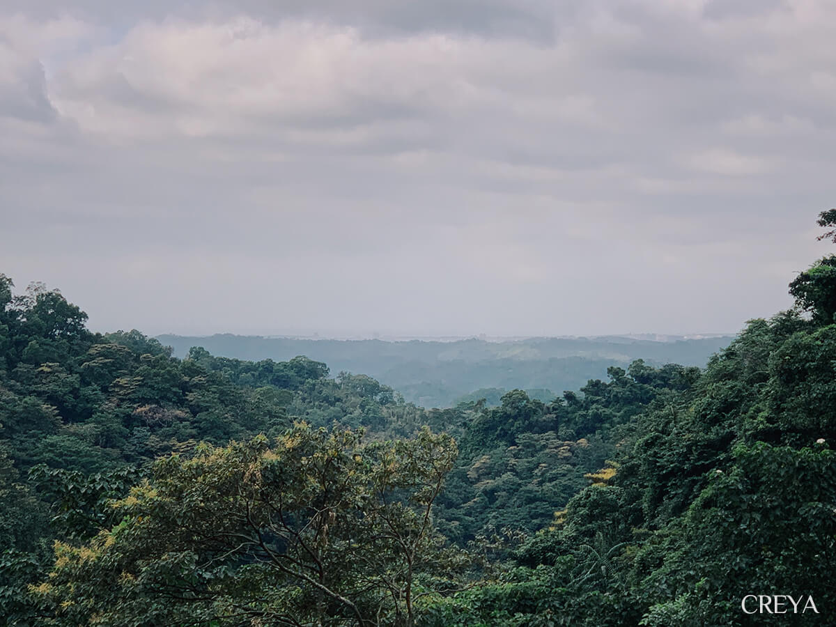
Zhihu Historic Trail
At some point, landscape-information boards began appearing beside the trail. Only then did I realise I had finished the Er Liaokeng section and, without noticing, entered Zhihu Historic Trail.
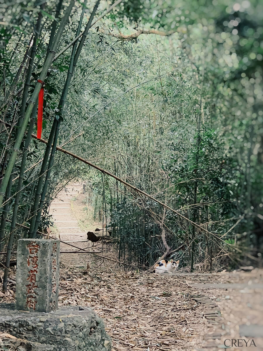
The route is called the Raknus Selu Trail, yet bamboo forest was the most common landscape on the trails I crossed that first day. Zhihu Historic Trail was the final mountain section. After weaving through bamboo all day, I finally felt connected to it.
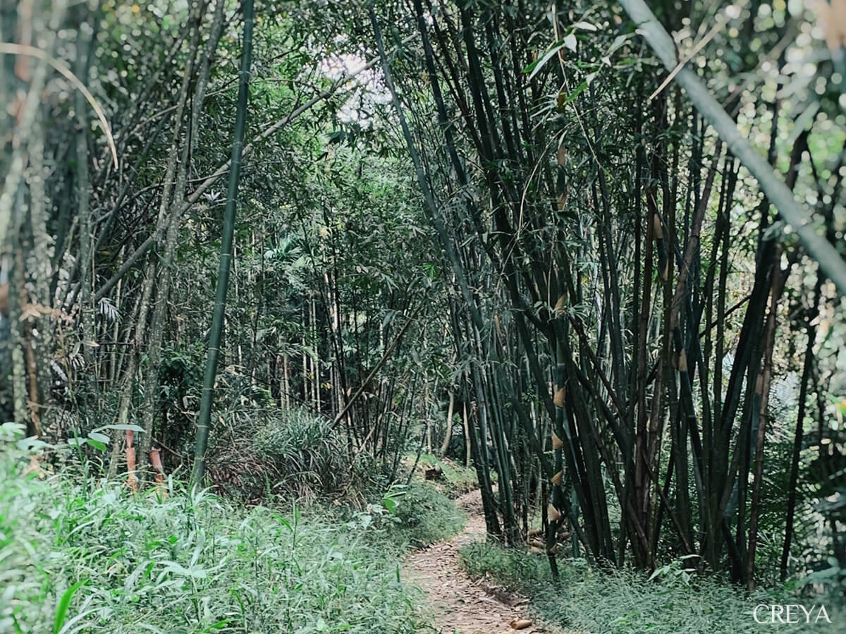
Zhihu is in Baishou Village, Shitan, Miaoli. The area was once thick with trees and home to the Saisiyat people. During the Qing dynasty, Han Hakka settlers began clearing the land. Some Saisiyat people moved into the mountains, while others have remained in Baishou Village to this day. Under Japanese rule, the trees were cut down and bamboo grew thick, turning the area into a major papermaking centre. Ancestors cut young makino bamboo, crushed it, and placed it in limewater ponds to break down the fibres into pulp. These ponds filled with limewater were called “paper lakes.” Porters then carried the rough paper along the historic trail to factories in places such as Zhunan, where it was processed into joss paper.
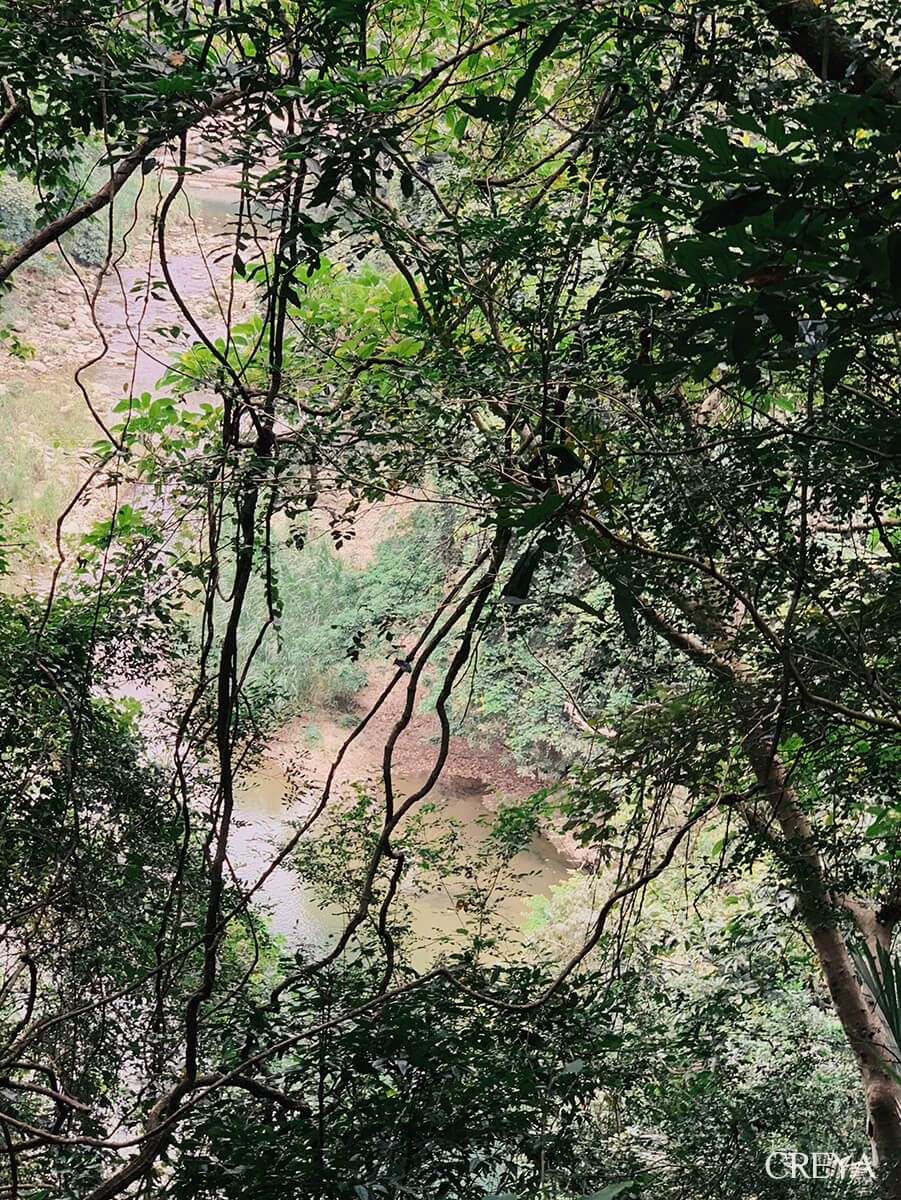
As I approached the end of the historic trail, the traffic on Provincial Highway 3 grew clearer. On Zhihu Bridge at the trailhead, a man on a motorcycle was handing out campaign flyers to villagers. When he saw me photographing the bridge, he waved me over to admire its details. He told me that this arched stone bridge, built in 1928, was a glutinous-rice bridge, bonded with sticky rice, brown sugar, and lime. His proud voice showed me his affection for this land.
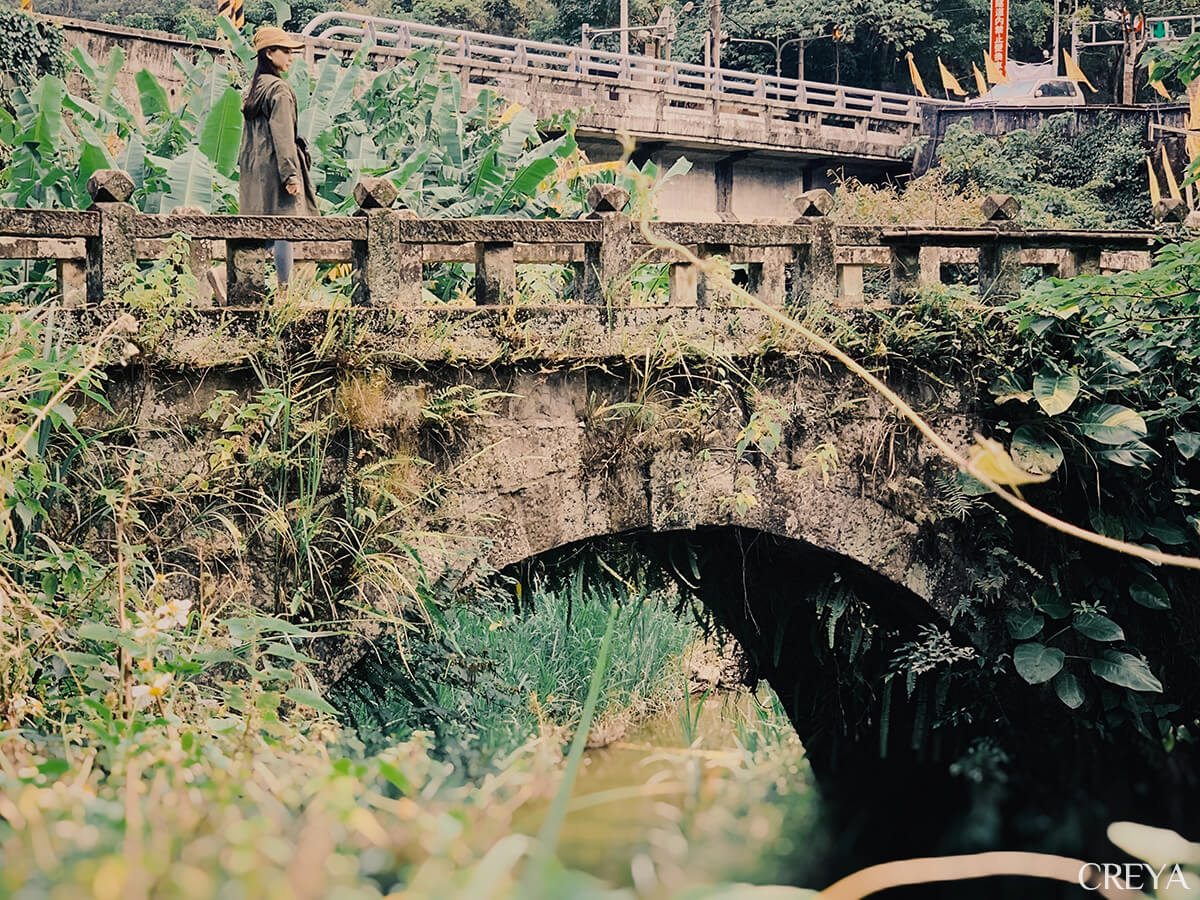
Baishou Village was once lively and prosperous. In the small old-house settlement it appears to be today, there were once three grocery stores and a barbershop. The glutinous-rice bridge endured the frequent transport of heavy paper goods and still stands, but it could not hold the village against the passage of time. As demand for joss paper shrank, the village declined.
Mingde Reservoir
From Baishou Village I returned to Provincial Highway 3, then turned right after passing through Baishou Tunnel. The next five kilometres were all downhill. With a podcast host discussing national defence in my earphones, the road beneath my feet somehow felt less hard.
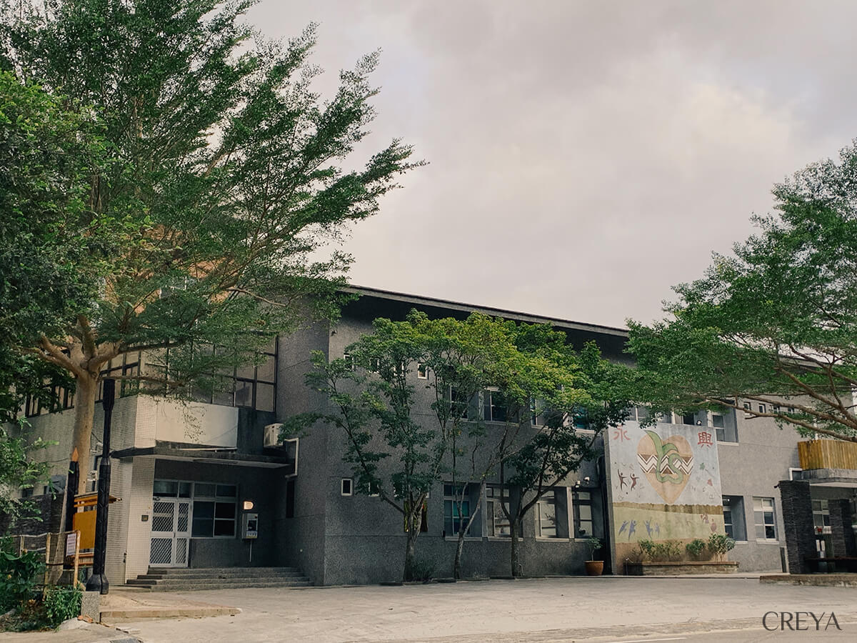
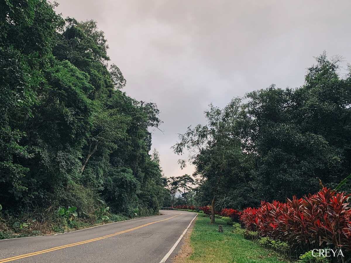
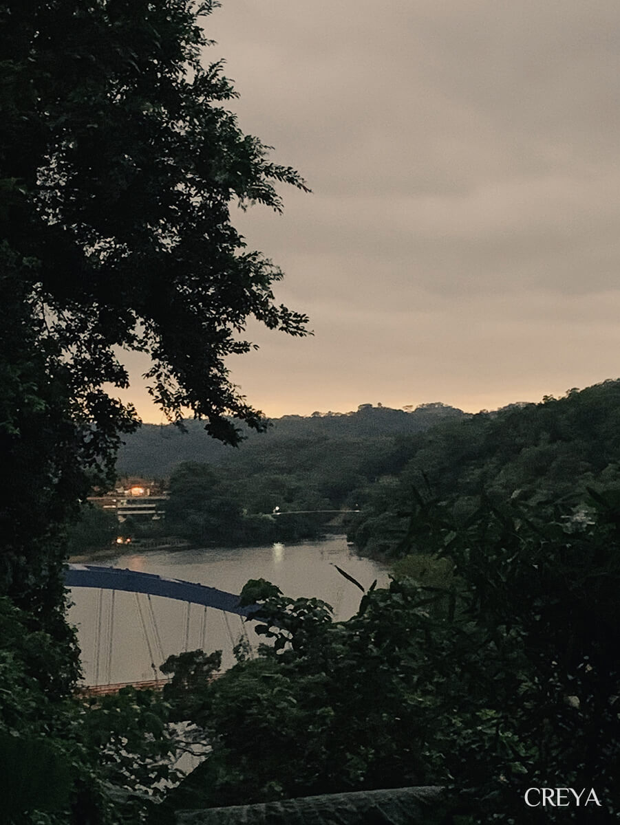
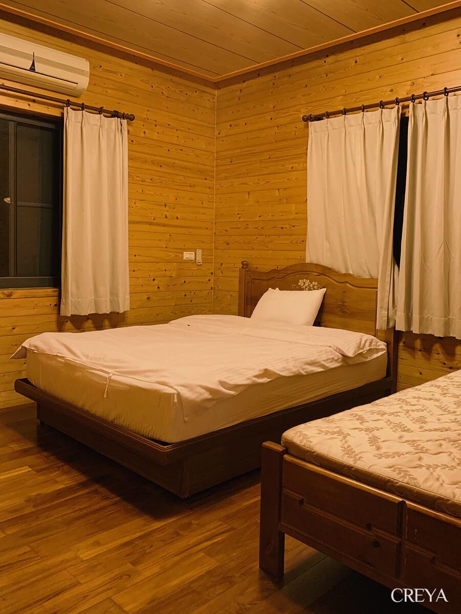
Night arrived at Yijing Holiday Manor before I did. The owner came out with a flashlight to guide me. I could no longer see the lake views said to lie in front of the guesthouse, but the wooden room under warm yellow light let my body and mind finally relax.
And that table of wonderful food deserves a mention too.
The dining room was in a small house beside the guest rooms, with a single door leading into what seemed to exist solely for cooking. Two large windows offered a clear view of the steaming dishes in the kitchen. There were two dining tables in the little room. I was the only guest that night, yet the owner still prepared five dishes and a soup, four of them meat.
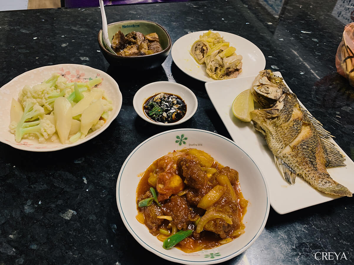
The owner and his wife sat at the other table and ate dinner with me. From time to time, she turned around to chat about the trail and life beyond it. Whenever our conversation paused, the news anchor on the wall took over with stories about vaccine disputes and traffic accidents.
During dinner, the owner received a phone call in Hakka, the language I had often heard along the Raknus Selu Trail. I could not understand it, but it was more interesting than the television news I could understand. To me, Hakka sounds a little like Cantonese. If I knew the topic and watched the gestures, I could catch a few similar-sounding keywords and guess perhaps 20 or 30 percent of the meaning. Otherwise, it was a complete blur.
By the fourth phone call, I suddenly felt I could understand 90 percent of it.“Sure, I can. Let me take a look!”A few seconds later I realised that the owner had switched to Taiwanese Hokkien.
“I lived in Liuzhangli, Taipei, for more than ten years. That is where I learned it,” she explained when I marvelled at how well she spoke Taiwanese Hokkien. I carry Hoklo blood, yet I cannot even speak Taiwanese Hokkien well.
“When you left home for Taipei, did you know any Hakka friends you could get together with and speak Hakka?” I continued asking, a Taipei resident and complete Hakka novice.
“Back then, we simply did not dare speak Hakka. I do not know why, but in Taipei in those days, it seemed better not to let people know you were Hakka.” Her words were light and matter-of-fact, but my head thundered.
“Maybe people still looked after their own group more?” I forced out a sentence I did not really mean, feeling deeply guilty.
What I did not say were the stereotypes that immediately came to mind, the words attached to Hakka people that my family had fed me since childhood. “You are Hakka?!” was not a friendly question, but more often a snicker. And that was in my generation, let alone the owner’s.
Pop, pop. After dinner, the owner invited me to have a drink. I thought of every warm face I had met since leaving Miaoli Railway Station, and of my Hakka classmates. Not one of them belonged with those stereotyped words. When resources are scarce, who does not learn to use them carefully?
I had lived in Taiwan for so long, yet it was not until I stepped onto the Raknus Selu Trail that I began to know the lovely people who share this same piece of land with me.
Distance Log and Trail Notes
Day 1 Sections (Sanwan, Miaoli → Mingde Reservoir)
| Section | Type | Kilometres | Walking time | Notes |
|---|---|---|---|---|
| Xin An Hall → Sanwan start point → Longnanding trailhead | Road | 2.4 | 30 min | |
| Longnanding Trail | Trail | 1.4 | 45 min | |
| Longnanding exit → Sanlianpi Bikeway → Lao Chonggui trailhead | Road + cycleway | 2.5 | 50 min | |
| Lao Chonggui Trail | Trail | 1.7 | 35 min | |
| Lao Chonggui exit → Er Liaokeng trailhead | Road | 3.9 | 1 hr 10 min | Lunch break before the Er Liaokeng trailhead |
| Er Liaokeng trail → Zhihu Historic Trail entrance | Trail | 4.6 | 1 hr | Poor signage; an offline map is necessary |
| Zhihu Historic Trail | Trail | 1.1 | 20 min | |
| Zhihu Historic Trail exit → Yijing Holiday Manor | Road (steep slope) | 6.9 | 1 hr 30 min | |
| Total | 23.8 | 6 hr 40 min | Excludes meals, rests, and conversations |
Trail Notes
- The “n” in Longnanding: the character 峎 is typed as ㄌㄤˇ, pronounced ㄍㄣˇ in Taiwanese Hokkien and ㄍㄣ in Hakka.
- The “liao” in Er Liaokeng: it usually refers to a work hut, a record of earlier settlers developing and living in the area. In The Story at a Funeral, novelist Gan Yaoming, who was born in Shitan, used the imagined place name “Sanliaokeng” as the story’s setting.
- Zhihu vs. the Paper-Carrying Trail: strictly speaking, the path beneath my feet was the Paper-Carrying Historic Trail, where ancestors carried rough paper to Touwu, rather than the Zhihu Historic Trail above, where lime was burned and paper made. The whole section is about 1.4 km, gentle and easy to walk.
Accommodation
Near Sanwan — Xin An Hall
- Address: No. 26, Lane 2, Tongjing Village, Sanwan Township, Miaoli County(Google Map)
- 2022 price: NT$700 (about US$22) per bed
- Traditional Hakka house in a quiet settlement, about 1 km from the Raknus Selu Trail, with no shops or supplies nearby
- Also consider: Taiwan Lily Homestay(Facebook); ask the owner about a shuttle to the Sanwan starting point
Near Mingde Reservoir — Yijing Holiday Manor
- Address: No. 22, Renlong, Mingde Village, Touwu Township, Miaoli County(Google Map)
- 2022 price: double room with breakfast and dinner, NT$3,200 (about US$100) on weekdays / NT$3,600 (about US$113) on weekends
- Beside Mingde Reservoir, with breakfast and dinner included, good food, and only 200 m from the Raknus Selu Trail; no shops or supplies nearby
- Also consider: Fun Young Camping Area(Facebook)、Lupin Farm Campground(Facebook)
Getting to Sanwan
From Zhunan Railway Station, take a bus and get off at the “Tongluoquan” stop. Walk 160 m to the Sanwan starting point. Check the latest official announcements for schedules and fares.


