


Ever since we passed Hamilton, the TA trail became increasingly frustrating—dangerous roads, sore feet, unclear signage by the river, uneven ground riddled with potholes. We finally made it to the forest, only to find it muddy and treacherous, every step nerve-wracking.
We’d endured 900 kilometers across the North Island’s north, but here we started to question our resolve to keep going on the TA.
After a tense heart-to-heart with Sara, we decided to give ourselves a break. We chose the bike track as an alternative route, hoping to sidestep the notoriously muddy sections of the original TA trail if rain came.
Walking the wide, easy bike track had us both feeling great. But just before the fork where the original TA trail branches off, I suggested we go a bit further on the TA trail to reach the summit for the views. It wasn’t an easy call—the summit trail was steep and grueling, and passing up a perfectly good flat path seemed foolish. But I believed the top might reward us with decent views.
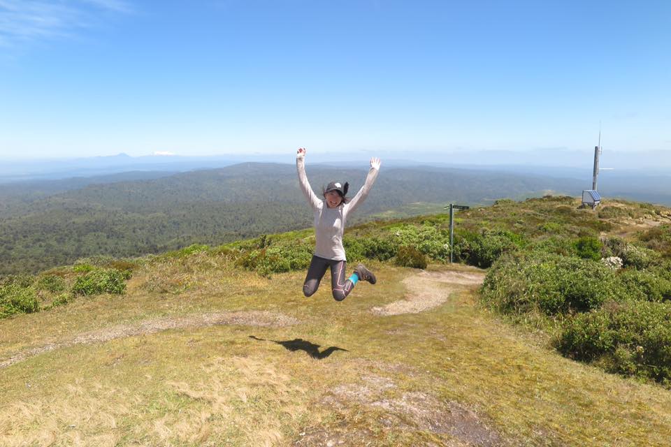
With my insistence, we both agreed to go for the summit. Sure enough, the TA trail was incredibly muddy again. But when we reached the top, we were treated to a stunning 360-degree panorama—Taranaki, Tongariro, and Lake Taupo all visible and crystal clear. Absolutely worth the detour.
It’s like life: we all fear stepping outside our comfort zone. Another path might be harder, take more time, but it can bring unexpected rewards.
(Reflecting on diary entry from 2017/1/16)
https://www.facebook.com/creyanet/posts/1293414900706696:0
📍 Te Araroa Trail | New Zealand 3,000 Kilometer Hiking Diary| Back to Full Series Directory


